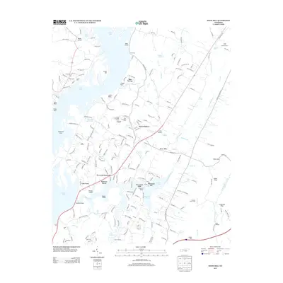
2013 Map of Snow Hill
USGS Topo · Published 2013About this map
The sprawling shoreline of Dallas Lake and the Savannah Bay inlets dominate this 2013 topographical study of the Tennessee Valley northeast of Chattanooga. Residential development is clustered in communities like Savannah Hills, Summer Haven, and Morning Shadows, illustrating the modern suburban character of the area around Snow Hill. The landscape preserves distinct local landmarks, including the Ooltewah Lookout Tower on the eastern ridges and the Soap Box Derby Track near the City of Chattanooga Landfill. Recreational use is prominent throughout the terrain, evidenced by Camp Hacoba and Camp Joy near the water's edge. Historic transport routes are still reflected in the road network, such as Igou Ferry Rd, which points to former river crossings now replaced by the modern Savannah Bridge.
Find a feature on this map
203 named features on this map. Tap any name to fly to it.
Don’t see what you’re looking for? This feature index may not catch every label — zoom into the map to look around manually.
Map Details
Editions of this 2013 Snow Hill Map
This is the sole edition of this map. No revisions or reprints were ever made.
Other maps of this area

1886 · Cleveland
USGS Topo · 1:125,000

1888 · Chattanooga
USGS Topo · 1:125,000

1892 · Cleveland
USGS Topo · 1:125,000

1893 · Chattanooga
USGS Topo · 1:125,000

1895 · Cleveland
USGS Topo · 1:125,000

1901 · Cleveland
USGS Topo · 1:125,000

1935 · East Chattanooga
USGS Topo · 1:24,000

1935 · Daisy
USGS Topo · 1:24,000

1935 · Mc Donald
USGS Topo · 1:24,000

1935 · Soddy
USGS Topo · 1:24,000