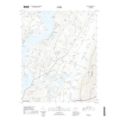
2019 Map of Snow Hill
USGS Topo · Published 2019About this map
Chickamauga Lake and the winding course of the Tennessee River dominate this modern topographical record of Hamilton County. The landscape is a complex network of bays and inlets, including Savannah Bay and Harrison Bay, which define the shoreline near Lakesite and Snow Hill. This map is particularly dense with genealogical sites, documenting dozens of family burial grounds such as Roddy-Yarnell Cem, Masterson Cem, and Montgomery Cem that dot the ridges and hollows.
Find a feature on this map
206 named features on this map. Tap any name to fly to it.
Don’t see what you’re looking for? This feature index may not catch every label — zoom into the map to look around manually.
Map Details
Editions of this 2019 Snow Hill Map
This is the sole edition of this map. No revisions or reprints were ever made.
Other maps of this area

1886 · Cleveland
USGS Topo · 1:125,000

1888 · Chattanooga
USGS Topo · 1:125,000

1892 · Cleveland
USGS Topo · 1:125,000

1893 · Chattanooga
USGS Topo · 1:125,000

1895 · Cleveland
USGS Topo · 1:125,000

1901 · Cleveland
USGS Topo · 1:125,000

1935 · East Chattanooga
USGS Topo · 1:24,000

1935 · Daisy
USGS Topo · 1:24,000

1935 · Mc Donald
USGS Topo · 1:24,000

1935 · Soddy
USGS Topo · 1:24,000