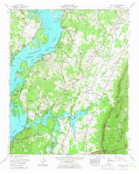
1964 Map of Snow Hill
USGS Topo · Published 1966About this map
Chickamauga Lake and the Tennessee River dominate the western landscape of this mid-1960s survey, illustrating the significant hydrological transformation of Hamilton County. The map reveals a complex network of residential and recreational development along the shoreline, including Lakesite and the established Harrison Bay State Park. Moving inland toward White Oak Mountain, the terrain transitions from the water-oriented community of the Wolftever Fishing Club to a deeply-rooted rural landscape marked by dozens of family burying grounds such as Roddy-Yarnell Cem and Kimbro Cem.
Find a feature on this map
91 named features on this map. Tap any name to fly to it.
Don’t see what you’re looking for? This feature index may not catch every label — zoom into the map to look around manually.
Map Details
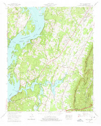
Editions of this 1964 Snow Hill Map
2 editions found
Other maps of this area

1886 · Cleveland
USGS Topo · 1:125,000

1888 · Chattanooga
USGS Topo · 1:125,000

1892 · Cleveland
USGS Topo · 1:125,000

1893 · Chattanooga
USGS Topo · 1:125,000

1895 · Cleveland
USGS Topo · 1:125,000

1901 · Cleveland
USGS Topo · 1:125,000

1935 · East Chattanooga
USGS Topo · 1:24,000

1935 · Daisy
USGS Topo · 1:24,000

1935 · Mc Donald
USGS Topo · 1:24,000

1935 · Soddy
USGS Topo · 1:24,000