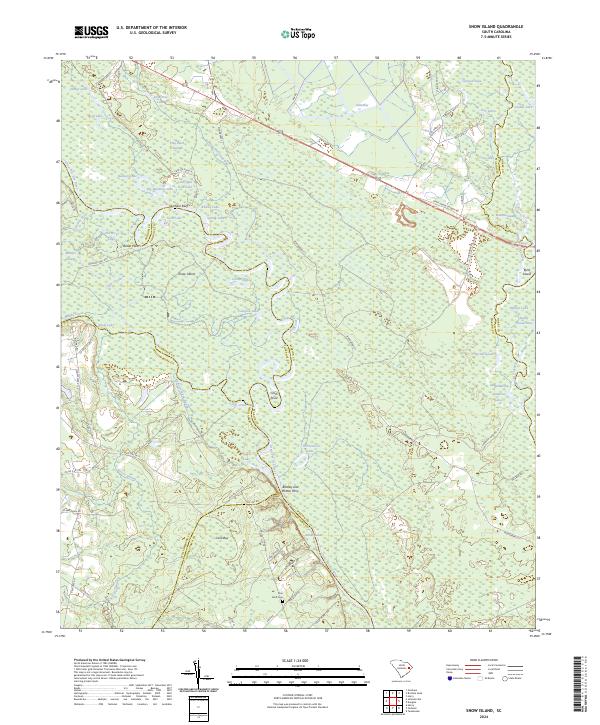
2024 Map of Snow Island
USGS Topo · Published 2024About this map
Great Pee Dee River and Little Pee Dee River dominate this Lowcountry landscape where Marion, Florence, Horry, Georgetown, and Williamsburg counties converge. The intricate network of backwaters and wetlands defines the local geography, featuring unique landforms like Snow Island and the elevated ground of Durham Bluff. The map records historical river crossings and navigation points such as the Bradley and Britton Ferry and the descriptively named Apple Orchard Slough.
Find a feature on this map
83 named features on this map. Tap any name to fly to it.
Don’t see what you’re looking for? This feature index may not catch every label — zoom into the map to look around manually.
Map Details
Editions of this 2024 Snow Island Map
This is the sole edition of this map. No revisions or reprints were ever made.
Other maps of this area

1943 · Yauhannah
USGS Topo · 1:24,000

1943 · Henry
USGS Topo · 1:24,000

1943 · Dongola
USGS Topo · 1:24,000

1943 · Horry
USGS Topo · 1:24,000

1943 · Outland
USGS Topo · 1:24,000

1944 · Outland
USGS Topo · 1:31,680

1946 · Johnsonville
USGS Topo · 1:62,500

1949 · Georgetown
USGS Topo · 1:250,000

1967 · Georgetown
USGS Topo · 1:250,000

1974 · Georgetown
USGS Topo · 1:250,000