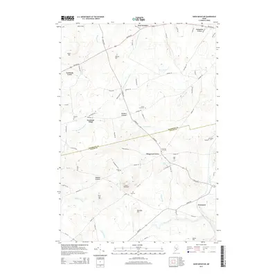
2014 Map of Snow Mountain
USGS Topo · Published 2014About this map
Snow Mountain rises as a prominent landmark in this transition zone where the hills of southern Penobscot County meet the Waldo County line. The settlement pattern is defined by historic crossroads communities, most notably Newburgh Village and Nealeys Corner, which serve as nodes for a network of country roads like Kennebec Rd and Lebanon Rd. These small hamlets reflect the 19th-century agricultural and timber foundations of the region, still evident in the numerous family-named landmarks and rural burial grounds such as Chapman Cem and Perkins Cem.
Find a feature on this map
71 named features on this map. Tap any name to fly to it.
Don’t see what you’re looking for? This feature index may not catch every label — zoom into the map to look around manually.
Map Details
Editions of this 2014 Snow Mountain Map
This is the sole edition of this map. No revisions or reprints were ever made.
Other maps of this area

1900 · Bucksport
USGS Topo · 1:62,500

1902 · Bucksport
USGS Topo · 1:62,500

1902 · Bangor
USGS Topo · 1:62,500

1931 · Stetson
USGS Topo · 1:48,000

1932 · Brooks
USGS Topo · 1:62,500

1935 · Stetson
USGS Topo · 1:62,500

1942 · Bangor
USGS Topo · 1:62,500

1942 · Bucksport
USGS Topo · 1:62,500

1946 · Bangor
USGS Topo · 1:62,500

1948 · Bangor
USGS Topo · 1:250,000