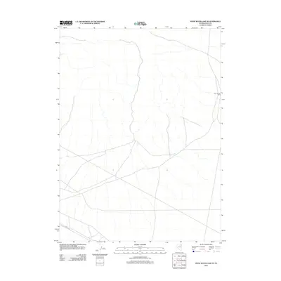
2012 Map of Snow Water Lake NE
USGS Topo · Published 2012About this map
Warm Springs Ranch stands as the primary namesake landmark in this corner of Elko County, marking a site of habitation amidst the high desert drainage patterns. The 2012 survey by the U.S. Geological Survey details a landscape defined by ephemeral stream beds and the utility of the RR Maint Rd, which follows the southern rail corridor. The map’s sparse distribution of named features highlights the specialized land use typical of the Great Basin, where isolated ranches and infrastructure access points represent the primary human imprint on the terrain.
Find a feature on this map
2 named features on this map. Tap any name to fly to it.
Don’t see what you’re looking for? This feature index may not catch every label — zoom into the map to look around manually.
Map Details
Editions of this 2012 Snow Water Lake NE Map
This is the sole edition of this map. No revisions or reprints were ever made.
Other maps of this area

1955 · Wells
USGS Topo · 1:250,000

1955 · Elko
USGS Topo · 1:250,000

1958 · Wells
USGS Topo · 1:250,000

1958 · Elko
USGS Topo · 1:250,000

1961 · Wells
USGS Topo · 1:250,000

1962 · Elko
USGS Topo · 1:250,000

1965 · Elko
USGS Topo · 1:250,000

1968 · Moor Summit
USGS Topo · 1:24,000

1968 · Independence Valley SW
USGS Topo · 1:24,000

1968 · Wells
USGS Topo · 1:24,000