
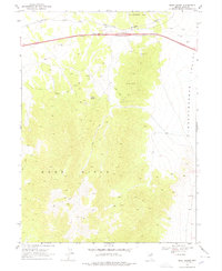
1968 Map of Moor Summit
USGS Topo · Published 1971About this map
Southern Pacific rail lines and the high-altitude pass at Moor Summit define this high-desert corridor in northeastern Nevada. Recorded just before the 1970s, the map reveals a landscape shaped by transportation and resource extraction, where the mountain terrain of the Wood Hills and Windermere Hills meets the broad expanse of Independence Valley. The region's isolation is underscored by a network of Jeep Trails and remote water sources like Wadel Spring and Johnson Well, which likely served both ranching and mineral exploration. Evidence of past geological interest is scattered throughout the hills, indicated by various Mines and Prospects that hint at the area's mining history. The steep grade through Cedar Pass shows the engineering challenges faced by early railroad builders as they navigated the transition between these high basins and peaks.
Find a feature on this map
15 named features on this map. Tap any name to fly to it.
Don’t see what you’re looking for? This feature index may not catch every label — zoom into the map to look around manually.
Map Details
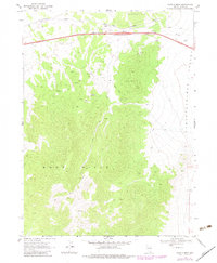
Editions of this 1968 Moor Summit Map
3 editions found
Other maps of this area

1955 · Wells
USGS Topo · 1:250,000

1955 · Elko
USGS Topo · 1:250,000

1958 · Wells
USGS Topo · 1:250,000

1958 · Elko
USGS Topo · 1:250,000

1961 · Wells
USGS Topo · 1:250,000

1962 · Elko
USGS Topo · 1:250,000

1965 · Elko
USGS Topo · 1:250,000

1968 · Holborn
USGS Topo · 1:24,000

1968 · Wells
USGS Topo · 1:24,000
1968 · Pequop Summit SW
USGS Topo · 1:24,000