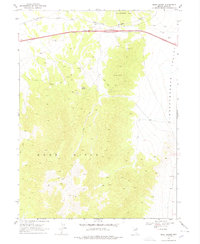
1968 Map of Moor Summit
USGS Topo · Published 1978About this map
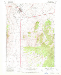
Southern Pacific railroad tracks wind through the high-desert corridor of northeast Nevada, following the terrain near the small settlement of Moor. This 1968 survey reveals a landscape of transit and resource extraction, where the mountain passes of the Windermere Hills and the Wood Hills converge. The mapping shows the transition from the broad, flat Independence Valley to the technical challenges of the Moor Summit and Cedar Pass.
Find a feature on this map
18 named features on this map. Tap any name to fly to it.
Don’t see what you’re looking for? This feature index may not catch every label — zoom into the map to look around manually.
Map Details
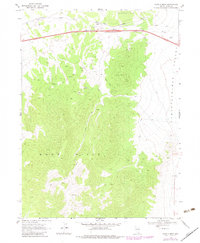
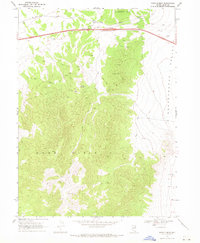
Editions of this 1968 Moor Summit Map
3 editions found
Other maps of this area

1955 · Wells
USGS Topo · 1:250,000

1955 · Elko
USGS Topo · 1:250,000

1958 · Wells
USGS Topo · 1:250,000

1958 · Elko
USGS Topo · 1:250,000

1961 · Wells
USGS Topo · 1:250,000

1962 · Elko
USGS Topo · 1:250,000

1965 · Elko
USGS Topo · 1:250,000
1968 · Moor Summit
USGS Topo · 1:24,000
1968 · Holborn
USGS Topo · 1:24,000
1968 · Wells
USGS Topo · 1:24,000