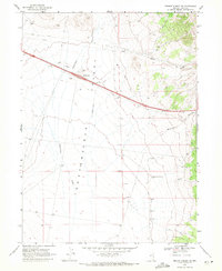
1968 Map of Pequop Summit SW
USGS Topo · Published 1971About this map
Independence Valley (Depression) dominates this high-desert landscape in Elko County, captured shortly after the completion of the interstate through this corridor. The map shows the transition of western travel, with a network of Jeep Trails and unnamed primitive roads contrasting with the modern Independence Interchange. Hydrology in this arid basin is marked by ephemeral features such as Independence Creek and Squaw Creek, along with several subsurface water attempts including the Independence Well (Dry) and several other locations simply marked as Dry Well. Resource extraction is evident through scattered Gravel Pits and a Drill Hole, reflecting the region's industrial utility. The eastern edge of the quadrangle rises toward the Pequop Mountains, incised by drainage paths like Maverick Canyon.
Find a feature on this map
12 named features on this map. Tap any name to fly to it.
Don’t see what you’re looking for? This feature index may not catch every label — zoom into the map to look around manually.
Map Details
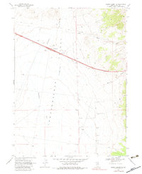
Editions of this 1968 Pequop Summit SW Map
2 editions found
Other maps of this area

1955 · Wells
USGS Topo · 1:250,000

1955 · Elko
USGS Topo · 1:250,000

1958 · Wells
USGS Topo · 1:250,000

1958 · Elko
USGS Topo · 1:250,000

1961 · Wells
USGS Topo · 1:250,000

1962 · Elko
USGS Topo · 1:250,000

1965 · Elko
USGS Topo · 1:250,000

1968 · Moor Summit
USGS Topo · 1:24,000

1968 · Independence Valley NE
USGS Topo · 1:24,000

1968 · Holborn
USGS Topo · 1:24,000