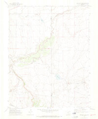
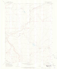
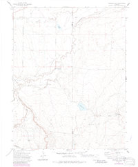
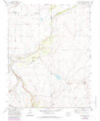
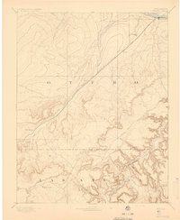
1970 Map of Snowden Lake
USGS Topo · Published 1974About this map
The Apishapa River cuts through this landscape along the border of Pueblo and Otero counties, creating a complex drainage network including Saunders Arroyo and an Old Channel. This 1970 survey documents a ranching and water-management landscape defined by isolated water sources such as La Pear Pond, North Hixon Well, and the Bull Pasture Windmill. The presence of Snowden Lake and Hixon Res indicate deliberate water storage in this arid environment. Significant to local history are the named natural springs like Kitch Spring and the prominent terrain feature known as Whiterock, which serve as vital landmarks for understanding land use and movement through this part of the Colorado plains during the late twentieth century.
Find a feature on this map
14 named features on this map. Tap any name to fly to it.
Don’t see what you’re looking for? This feature index may not catch every label — zoom into the map to look around manually.
Map Details
Editions of this 1970 Snowden Lake Map
4 editions found
Other maps of this area

1891 · Timpas
USGS Topo · 1:125,000

1891 · Apishapa
USGS Topo · 1:125,000

1893 · Apishapa
USGS Topo · 1:125,000
1894 · Timpas
USGS Topo · 1:125,000
1897 · Apishapa
USGS Topo · 1:125,000

1954 · Trinidad
USGS Topo · 1:250,000

1955 · La Junta
USGS Topo · 1:250,000

1955 · Trinidad
USGS Topo · 1:250,000

1958 · La Junta
USGS Topo · 1:250,000

1958 · Trinidad
USGS Topo · 1:250,000