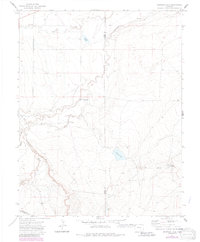
1970 Map of Snowden Lake
USGS Topo · Published 1985About this map
Apishapa River cuts through this high plains landscape at the borders of Pueblo, Otero, and Las Animas counties, revealing a region defined by water management and ranching operations. The presence of Bull Pasture Windmill, North Hixon Well, and Hixon Res suggests a carefully utilized grazing land where every spring and arroyo was critical to local survival. The settlement of Whiterock sits in the northwest, while the southeastern portion of the map is dominated by the namesake Snowden Lake.
Find a feature on this map
15 named features on this map. Tap any name to fly to it.
Don’t see what you’re looking for? This feature index may not catch every label — zoom into the map to look around manually.
Map Details
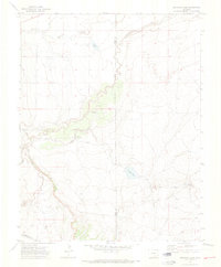
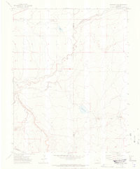
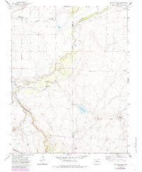
Editions of this 1970 Snowden Lake Map
4 editions found
Other maps of this area

1891 · Timpas
USGS Topo · 1:125,000

1891 · Apishapa
USGS Topo · 1:125,000

1893 · Apishapa
USGS Topo · 1:125,000

1894 · Timpas
USGS Topo · 1:125,000

1897 · Apishapa
USGS Topo · 1:125,000

1954 · Trinidad
USGS Topo · 1:250,000

1955 · La Junta
USGS Topo · 1:250,000

1955 · Trinidad
USGS Topo · 1:250,000

1958 · La Junta
USGS Topo · 1:250,000

1958 · Trinidad
USGS Topo · 1:250,000