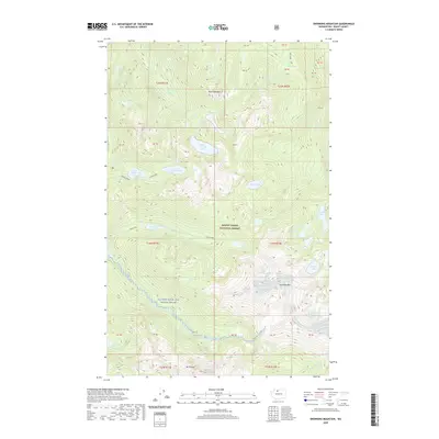
2020 Map of Snowking Mountain
USGS Topo · Published 2020About this map
Mount Baker National Forest encompasses this high-elevation landscape, dominated by the formidable peaks of Snowking Mtn and Mt Chaval. The area is characterized by a high concentration of subalpine lakes, including the tiered systems of Upper Granite Lake and Lower Granite Lake, alongside the Jordan Lake chain. The southern portion of the map is defined by the Illabot Wild and Scenic River, which drains the steep slopes of the t34n r11e and t34n r12e townships. The absence of roads or permanent structures reflects the protected and primitive character of the North Cascades during this era. Numerous creeks such as Boulder Cr and Mutchler Cr carve through the terrain, illustrating the complex hydrology that feeds the region's prominent glacial lakes like Slide Lake and Found Lake.
Find a feature on this map
59 named features on this map. Tap any name to fly to it.
Don’t see what you’re looking for? This feature index may not catch every label — zoom into the map to look around manually.
Map Details
Editions of this 2020 Snowking Mountain Map
This is the sole edition of this map. No revisions or reprints were ever made.
Other maps of this area

1899 · Glacier Peak
USGS Topo · 1:125,000

1901 · Glacier Peak
USGS Topo · 1:125,000

1953 · Marblemount
USGS Topo · 1:62,500

1955 · Concrete
USGS Topo · 1:250,000

1958 · Concrete
USGS Topo · 1:250,000

1962 · Concrete
USGS Topo · 1:250,000

1963 · Sonny Boy Lakes
USGS Topo · 1:24,000

1963 · Eldorado Peak
USGS Topo · 1:24,000
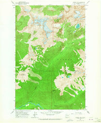
1963 · Downey Mtn
USGS Topo · 1:24,000
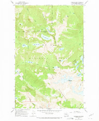
1966 · Snowking Mtn.
USGS Topo · 1:24,000