
1963 Map of Eldorado Peak
USGS Topo · Published 1965About this map
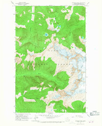
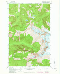
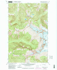
Eldorado Peak and the high-altitude ice of the Mt Baker National Forest dominate this mid-century survey of the North Cascades. The map details a complex glacial system including the Inspiration Glacier, Eldorado Glacier, and McAllister Glacier, providing a benchmark for the extent of these ice fields in the early 1960s. Below the peaks, the landscape transitions into steep drainage basins for Newhalem Creek and McAllister Creek. Human activity is concentrated along the Hidden Lake Trail leading toward Hidden Lake Peaks and the site of the Crescent Mine located on the slopes above Marble Creek. The proximity of these alpine features like The Triad and Dorado Needle illustrates the challenging terrain that shaped early mining and recreational access in this part of Skagit County.
Find a feature on this map
22 named features on this map. Tap any name to fly to it.
Don’t see what you’re looking for? This feature index may not catch every label — zoom into the map to look around manually.
Map Details
Editions of this 1963 Eldorado Peak Map
4 editions found
Other maps of this area

1899 · Glacier Peak
USGS Topo · 1:125,000

1901 · Glacier Peak
USGS Topo · 1:125,000

1953 · Marblemount
USGS Topo · 1:62,500

1955 · Concrete
USGS Topo · 1:250,000

1958 · Concrete
USGS Topo · 1:250,000

1962 · Concrete
USGS Topo · 1:250,000

1963 · Sonny Boy Lakes
USGS Topo · 1:24,000
1963 · Forbidden Peak
USGS Topo · 1:24,000

1963 · Diablo Dam
USGS Topo · 1:24,000

1963 · Ross Dam
USGS Topo · 1:24,000