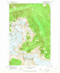
1963 Map of Forbidden Peak
USGS Topo · Published 1965About this map
Mt Baker National Forest encompasses this high-altitude landscape, dominated by a massive system of ice fields and jagged summits. Glacial activity is the defining characteristic of the terrain, with the sprawling Klawatti Glacier, Inspiration Glacier, and Boston Glacier carving deep basins into the rock. These ice masses feed into steep drainages such as McAllister Creek and the West Fork Thunder Creek, illustrating the complex hydrology of the High Cascades before late-century glacial recession.
Find a feature on this map
25 named features on this map. Tap any name to fly to it.
Don’t see what you’re looking for? This feature index may not catch every label — zoom into the map to look around manually.
Map Details
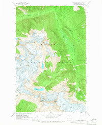
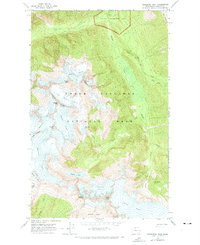
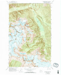
Editions of this 1963 Forbidden Peak Map
4 editions found
Other maps of this area

1899 · Glacier Peak
USGS Topo · 1:125,000

1901 · Glacier Peak
USGS Topo · 1:125,000

1902 · Stehekin
USGS Topo · 1:125,000

1904 · Stehekin
USGS Topo · 1:125,000

1920 · Slate Pass
USGS Topo · 1:125,000

1955 · Concrete
USGS Topo · 1:250,000

1958 · Concrete
USGS Topo · 1:250,000

1962 · Concrete
USGS Topo · 1:250,000

1963 · Sonny Boy Lakes
USGS Topo · 1:24,000

1963 · Eldorado Peak
USGS Topo · 1:24,000