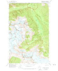
1963 Map of Forbidden Peak
USGS Topo · Published 1973About this map
Forbidden Peak and the high-altitude terrain of the North Cascades are the primary focus of this 1963 field survey. The landscape is defined by massive ice fields and drainage systems, including the Inspiration Glacier, Borealis Glacier, and the sprawling Boston Glacier which feeds into the West Fork of the river system. While much of the area is protected within North Cascades National Park, evidence of human industry appears at the Skagit Queen Mine on the eastern edge of the quadrangle. The map captures the complex topography of high summits like Mount Torment and the Austera Towers before the full establishment of modern recreational infrastructure. Lower elevations are traversed by the Fisher Creek Trail, providing a rare point of access through the dense drainage basins like Boston Basin and the valley of Thunder Creek.
Find a feature on this map
34 named features on this map. Tap any name to fly to it.
Don’t see what you’re looking for? This feature index may not catch every label — zoom into the map to look around manually.
Map Details
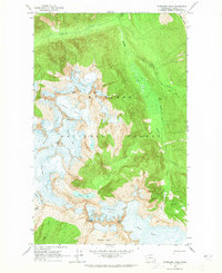
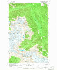
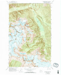
Editions of this 1963 Forbidden Peak Map
4 editions found
Other maps of this area

1899 · Glacier Peak
USGS Topo · 1:125,000

1901 · Glacier Peak
USGS Topo · 1:125,000

1902 · Stehekin
USGS Topo · 1:125,000

1904 · Stehekin
USGS Topo · 1:125,000

1920 · Slate Pass
USGS Topo · 1:125,000

1955 · Concrete
USGS Topo · 1:250,000

1958 · Concrete
USGS Topo · 1:250,000

1962 · Concrete
USGS Topo · 1:250,000

1963 · Sonny Boy Lakes
USGS Topo · 1:24,000

1963 · Eldorado Peak
USGS Topo · 1:24,000