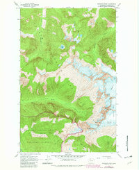
1963 Map of Eldorado Peak
USGS Topo · Published 1982About this map
Eldorado Peak and the surrounding high ice fields define this section of the Skagit County high country as it was documented in the early 1960s. The landscape is dominated by heavy glaciation, featuring the McAllister Glacier, Inspiration Glacier, and Eldorado Glacier radiating from the central massifs. These frozen heights are punctuated by sharp landmarks like Dorado Needle and Tepeh Towers.
Find a feature on this map
22 named features on this map. Tap any name to fly to it.
Don’t see what you’re looking for? This feature index may not catch every label — zoom into the map to look around manually.
Map Details
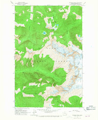
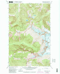
Editions of this 1963 Eldorado Peak Map
4 editions found
Other maps of this area

1899 · Glacier Peak
USGS Topo · 1:125,000

1901 · Glacier Peak
USGS Topo · 1:125,000

1953 · Marblemount
USGS Topo · 1:62,500

1955 · Concrete
USGS Topo · 1:250,000

1958 · Concrete
USGS Topo · 1:250,000

1962 · Concrete
USGS Topo · 1:250,000

1963 · Sonny Boy Lakes
USGS Topo · 1:24,000

1963 · Eldorado Peak
USGS Topo · 1:24,000
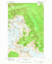
1963 · Forbidden Peak
USGS Topo · 1:24,000

1963 · Diablo Dam
USGS Topo · 1:24,000