
1963 Map of Diablo Dam
USGS Topo · Published 1965About this map
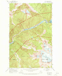
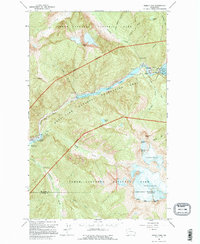
Diablo Dam and the hydro-electric infrastructure of the Skagit River project dominate this mid-century survey of the North Cascades. The map details the complex industrial presence within Mt Baker National Forest, including the company towns of Diablo and Newhalem, which served as hubs for workers at the Gorge Powerhouse and Newhalem Creek Powerhouse. The relationship between technological advancement and the environment is clear as Gorge Lake and Diablo Lake are hemmed in by the sheer elevations of Davis Peak and Mt Ross. High-altitude features such as Colonial Glacier and the Neve Glacier below Snowfield Peak provide a precise record of the ice fields before decades of retreat. From the Intake Tower to the remote Lookout Trail, the sheet documents the intersection of utility and wilderness during a period of significant regional power development.
Find a feature on this map
39 named features on this map. Tap any name to fly to it.
Don’t see what you’re looking for? This feature index may not catch every label — zoom into the map to look around manually.
Map Details
Editions of this 1963 Diablo Dam Map
3 editions found
Other maps of this area

1953 · Marblemount
USGS Topo · 1:62,500

1953 · Mt Challenger
USGS Topo · 1:62,500

1955 · Concrete
USGS Topo · 1:250,000

1958 · Concrete
USGS Topo · 1:250,000

1962 · Concrete
USGS Topo · 1:250,000

1963 · Eldorado Peak
USGS Topo · 1:24,000
1963 · Forbidden Peak
USGS Topo · 1:24,000

1963 · Ross Dam
USGS Topo · 1:24,000

1969 · Mt Prophet
USGS Topo · 1:24,000
1969 · Pumpkin Mtn.
USGS Topo · 1:24,000