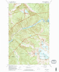
1963 Map of Diablo Dam
USGS Topo · Published 1995About this map
Diablo and Newhalem serve as the primary human anchors in this high-altitude landscape dominated by the hydroelectric infrastructure of the Skagit River. Compiled from 1958 aerial photography, the map details a sophisticated network of energy production, including the Gorge Dam, the Gorge Powerhouse, and the Newhalem Creek Powerhouse. These industrial features contrast sharply with the ice-fields of the Colonial Glacier and Neve Glacier to the south. The terrain is marked by distinctive summits such as Snowfield Peak and the whimsical Paul Bunyans Stump, alongside the massive waters of Diablo Lake and Gorge Lake. This survey captures the region as it functioned within the Ross Lake National Recreation Area and North Cascades National Park, documenting the access routes like the Sourdough Lookout Trail used to navigate the steep drainage of Stetattle Creek and Ladder Creek.
Find a feature on this map
44 named features on this map. Tap any name to fly to it.
Don’t see what you’re looking for? This feature index may not catch every label — zoom into the map to look around manually.
Map Details
Editions of this 1963 Diablo Dam Map
3 editions found
Other maps of this area

1953 · Marblemount
USGS Topo · 1:62,500

1953 · Mt Challenger
USGS Topo · 1:62,500

1955 · Concrete
USGS Topo · 1:250,000

1958 · Concrete
USGS Topo · 1:250,000

1962 · Concrete
USGS Topo · 1:250,000

1963 · Eldorado Peak
USGS Topo · 1:24,000
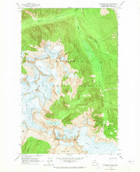
1963 · Forbidden Peak
USGS Topo · 1:24,000

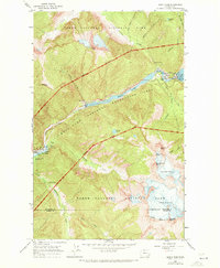
1963 · Diablo Dam
USGS Topo · 1:24,000

1963 · Ross Dam
USGS Topo · 1:24,000

1969 · Mt Prophet
USGS Topo · 1:24,000