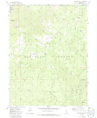
1979 Map of Soapstone Hill
USGS Topo · Published 1986About this map
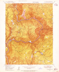
The Plumas National Forest landscape shown here in the late 1970s is defined by a legacy of resource extraction and rugged transit corridors. Industrial history is visible in the presence of the Soapstone Mine, Lucky Jack Mine, and Lucky Laddie Mine, alongside numerous quarries and prospect sites. The Middle Fork Feather River and North Fork Feather River carve through the terrain, with the latter followed by the Western Pacific line and its Grizzly Dome Tunnel. Evidence of earlier infrastructure persists through the Old Railroad Grade and several pack trails. Former habitation centers like Buckeye and Merrimac have transitioned to historical sites, while seasonal activity is represented by Rogers Cow Camp and several organized recreation areas such as the Daniel Zink Campground.
Find a feature on this map
66 named features on this map. Tap any name to fly to it.
Don’t see what you’re looking for? This feature index may not catch every label — zoom into the map to look around manually.
Map Details
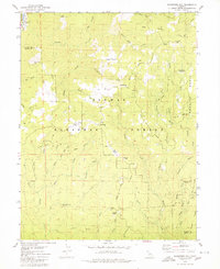
Editions of this 1979 Soapstone Hill Map
2 editions found
Other maps of this area

1888 · Bidwell Bar
USGS Topo · 1:125,000

1891 · Bidwell Bar
USGS Topo · 1:125,000

1893 · Bidwell Bar
USGS Topo · 1:125,000

1895 · Bidwell Bar
USGS Topo · 1:125,000

1897 · Bidwell Bar
USGS Topo · 1:125,000
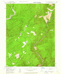
1947 · Brush Creek
USGS Topo · 1:24,000

1948 · Big Bend Mtn
USGS Topo · 1:62,500
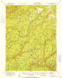
1948 · Mooreville Ridge
USGS Topo · 1:62,500
1948 · Las Plumas
USGS Topo · 1:24,000
1948 · Cascade
USGS Topo · 1:24,000