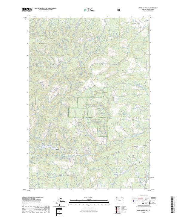
2023 Map of Socialist Valley
USGS Topo · Published 2023About this map
Socialist Valley and the neighboring settlement of Oakdale anchor this modern topographical survey of Polk County, Oregon. The landscape is defined by the sharp elevations of Mill Creek Ridge and Rickreall Ridge, with the higher ground of Mt Brown rising to the southwest. Significant portions of the central terrain are managed as part of the Siuslaw National Forest, where a network of forest roads and timber-access routes like Robb Mill Rd and Socialist Valley Rd navigate the complex drainages of Rickreall Creek and Mill Creek. To the north, the historic route of Old Military Rd traces the path of early transit through the hills. Water management for the local area is evident in several upland catchments, including Haystack Reservoir, Murray Reservoir, and Wilson Reservoir, which collect the runoff from numerous named tributaries such as Waymire Creek and Gooseneck Creek.
Find a feature on this map
44 named features on this map. Tap any name to fly to it.
Don’t see what you’re looking for? This feature index may not catch every label — zoom into the map to look around manually.
Map Details
Editions of this 2023 Socialist Valley Map
This is the sole edition of this map. No revisions or reprints were ever made.
Other maps of this area

1922 · Airlie
USGS Topo · 1:31,680

1942 · Sheridan
USGS Topo · 1:62,500

1942 · Spirit Mtn
USGS Topo · 1:62,500

1942 · Valsetz
USGS Topo · 1:62,500

1942 · Dallas
USGS Topo · 1:62,500

1948 · Vancouver
USGS Topo · 1:250,000

1950 · Vancouver
USGS Topo · 1:250,000

1950 · Vancouver
USGS Topo · 1:250,000

1953 · Salem
USGS Topo · 1:250,000

1954 · Salem
USGS Topo · 1:250,000