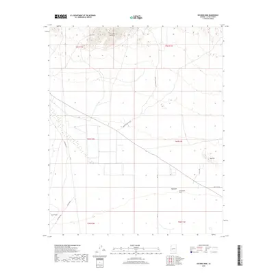
2018 Map of Socorro Mine
USGS Topo · Published 2018About this map
Socorro Mine sits at the northern edge of this La Paz County landscape, where the rugged elevations of the Harquahala Mountains descend into the broad, arid expanse of the Harquahala Plain. The survey reveals a region defined by its mining history and expansive terrain, with transport routes like Hidden Treasure Mine Rd and Sore Finger Rd cutting across the desert floor toward specialized geographical formations like Sore Fingers and the Red Hills. Near the center of the plain, the small settlement of Sunwest provides a focal point for the surrounding township grids. The map illustrates a classic Arizona desert basin and range pattern, where industrial prospects in the high ground are connected by a network of local roads such as Desert Moon Rd and Ave 71 E that serve the valley floor.
Find a feature on this map
19 named features on this map. Tap any name to fly to it.
Don’t see what you’re looking for? This feature index may not catch every label — zoom into the map to look around manually.
Map Details
Editions of this 2018 Socorro Mine Map
This is the sole edition of this map. No revisions or reprints were ever made.
Other maps of this area

1942 · Vicksburg
USGS Topo · 1:250,000

1954 · Phoenix
USGS Topo · 1:250,000

1957 · Phoenix
USGS Topo · 1:250,000

1958 · Phoenix
USGS Topo · 1:250,000

1960 · Phoenix
USGS Topo · 1:250,000

1961 · Salome
USGS Topo · 1:62,500

1961 · Hope
USGS Topo · 1:62,500

1961 · Lone Mountain
USGS Topo · 1:62,500

1961 · Gladden
USGS Topo · 1:62,500

1969 · Phoenix
USGS Topo · 1:250,000