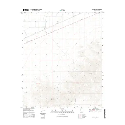
2014 Map of Socorro Peak
USGS Topo · Published 2014About this map
Socorro Peak towers over the landscape of eastern La Paz County, anchoring a terrain defined by the high ridges of the Harquahala Mountains. This region of the Sonoran Desert is bisected by the diagonal route of Us-60, which serves as the primary artery for the small roadside settlements of Wenden and Love. The infrastructure here is heavily influenced by the mining and ranching history of the area, as evidenced by the presence of Hidden Treasure Mine Rd and Urea Ranch Rd. The geography transitions from the flat alluvial plains in the northwest to the complex, elevated topography of the mountains in the southeast, where Tenahatchipi Pass marks a significant gap between the high peaks. This survey captures a moment when traditional desert transit routes and remote industrial access roads remained the primary human imprints on an otherwise expansive and largely undisturbed desert wilderness.
Find a feature on this map
12 named features on this map. Tap any name to fly to it.
Don’t see what you’re looking for? This feature index may not catch every label — zoom into the map to look around manually.
Map Details
Editions of this 2014 Socorro Peak Map
This is the sole edition of this map. No revisions or reprints were ever made.
Other maps of this area

1942 · Vicksburg
USGS Topo · 1:250,000

1954 · Phoenix
USGS Topo · 1:250,000

1957 · Phoenix
USGS Topo · 1:250,000

1958 · Phoenix
USGS Topo · 1:250,000

1960 · Phoenix
USGS Topo · 1:250,000

1961 · Salome
USGS Topo · 1:62,500

1961 · Hope
USGS Topo · 1:62,500

1961 · Lone Mountain
USGS Topo · 1:62,500

1961 · Gladden
USGS Topo · 1:62,500

1969 · Phoenix
USGS Topo · 1:250,000