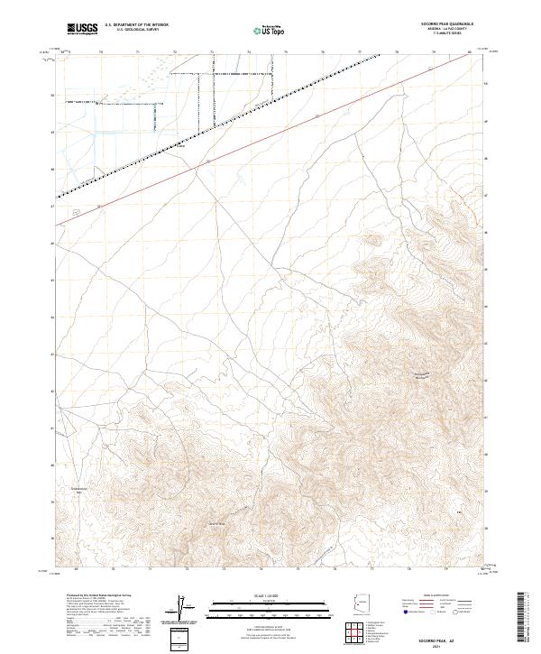
2021 Map of Socorro Peak
USGS Topo · Published 2021About this map
The settlement of Love sits at a crossroads in the western Arizona desert, marking a transition between the valley floor and the steep rises of the mountain interior. This 2021 survey illustrates the sparse human footprint in a landscape dominated by natural elevation, centered around the prominent summit of Socorro Peak. The map reveals a network of desert tracks and highway infrastructure that provides access to this isolated terrain, illustrating the modern management of public lands in La Paz County. The lack of dense settlement emphasizes the significance of these few named landmarks for navigation and local history in the high desert.
Find a feature on this map
2 named features on this map. Tap any name to fly to it.
Don’t see what you’re looking for? This feature index may not catch every label — zoom into the map to look around manually.
Map Details
Editions of this 2021 Socorro Peak Map
This is the sole edition of this map. No revisions or reprints were ever made.
Other maps of this area

1942 · Vicksburg
USGS Topo · 1:250,000

1954 · Phoenix
USGS Topo · 1:250,000

1957 · Phoenix
USGS Topo · 1:250,000

1958 · Phoenix
USGS Topo · 1:250,000

1960 · Phoenix
USGS Topo · 1:250,000

1961 · Salome
USGS Topo · 1:62,500

1961 · Hope
USGS Topo · 1:62,500

1961 · Lone Mountain
USGS Topo · 1:62,500

1961 · Gladden
USGS Topo · 1:62,500

1969 · Phoenix
USGS Topo · 1:250,000