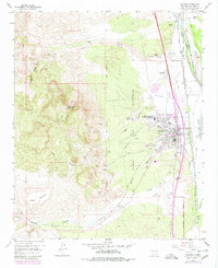
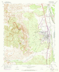
1979 Map of Socorro
USGS Topo · Published 1979About this map
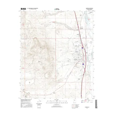
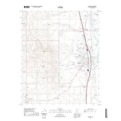
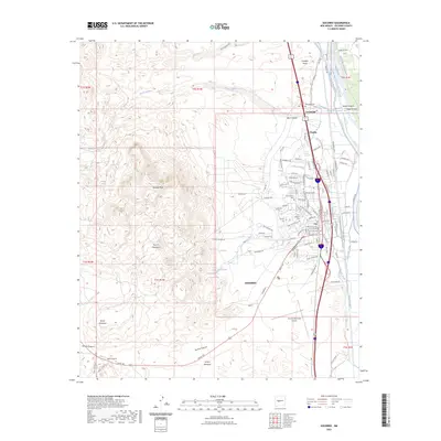
Socorro and its surrounding landscape are defined by a complex network of water management systems and high desert terrain at the end of the 1970s. The Rio Grande corridor is a intricate mesh of irrigation and drainage infrastructure, including the Socorro Main Conveyance Channel, the Salvage Drain, and various laterals like the Lopez Lateral. This sophisticated hydraulic engineering supported agricultural life in the valley while the western horizon was dominated by the elevation of Socorro Peak and Black Mountain.
Find a feature on this map
63 named features on this map. Tap any name to fly to it.
Don’t see what you’re looking for? This feature index may not catch every label — zoom into the map to look around manually.
Map Details
Editions of this 1979 Socorro Map
This is the sole edition of this map. No revisions or reprints were ever made.
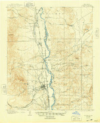
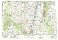
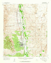
Historical Maps of Socorro Through Time
13 maps found
1906 Socorro
Socorro County, NM
1954 Socorro
Socorro County, NM

1958 Socorro
Socorro County, NM
1959 Socorro
Socorro County, NM
1959 Socorro
Socorro County, NM

1962 Socorro
Socorro County, NM
1979 Socorro
Socorro County, NM
1979 Socorro
Socorro County, NM
2010 Socorro
Socorro County, NM
2013 Socorro
Socorro County, NM
2017 Socorro
Socorro County, NM
2020 Socorro
Socorro County, NM
2023 Socorro
Socorro County, NM