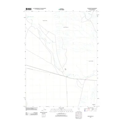
2011 Map of Sod House
USGS Topo · Published 2011About this map
The Quinn River meanders through a landscape defined by the convergence of several geographic basins in northern Nevada. This survey documents the intersection of the Kings River Valley and the Quinn River Valley, where the watercourse flows between the Double H Mountains to the north and the Slumbering Hills to the southeast. Central to the human footprint in this high-desert environment is the small settlement of Sod House, situated near Sod House Point. Transportation through this arid corridor relies on the Old Winnemucca Denio Rd and the straight-line path of Sod House Rd, which provide access across the flat valley floors. Water remains the critical anchor for navigation and survival, represented by Quinn River Lakes in the northwest and Cheuetto Spring near the eastern margin.
Find a feature on this map
11 named features on this map. Tap any name to fly to it.
Don’t see what you’re looking for? This feature index may not catch every label — zoom into the map to look around manually.
Map Details
Editions of this 2011 Sod House Map
This is the sole edition of this map. No revisions or reprints were ever made.
Other maps of this area

1882 · Paradise
USGS Topo · 1:250,000

1886 · Disaster
USGS Topo · 1:250,000

1893 · Paradise
USGS Topo · 1:250,000

1893 · Disaster
USGS Topo · 1:250,000

1954 · Vya
USGS Topo · 1:250,000

1955 · McDermitt
USGS Topo · 1:250,000

1958 · Vya
USGS Topo · 1:250,000

1958 · Awakening Peak
USGS Topo · 1:62,500

1959 · McDermitt
USGS Topo · 1:250,000

1959 · Orovada
USGS Topo · 1:62,500