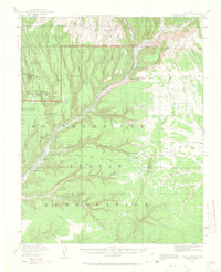
1912 Map of Soda Canyon
USGS Topo · Published 1964About this map
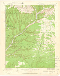
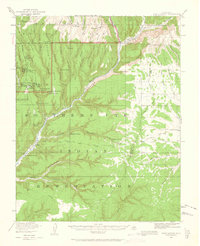
Mesa Verde National Park is meticulously detailed in this early 20th-century survey, showcasing the incredible density of archaeological sites concentrated on Chapin Mesa. The map identifies iconic locations including Cliff Palace, the Sprucetree House Headquarters, and Balcony House, alongside numerous smaller dwellings like Swallows Nest and Boneawl House. These sites are framed by a complex network of canyons such as Navajo Canyon and Soda Canyon, highlighting the strategic use of natural alcoves for habitation.
Find a feature on this map
67 named features on this map. Tap any name to fly to it.
Don’t see what you’re looking for? This feature index may not catch every label — zoom into the map to look around manually.
Map Details
Editions of this 1912 Soda Canyon Map
7 editions found
Other maps of this area

1889 · Chaco
USGS Topo · 1:250,000

1892 · Chaco
USGS Topo · 1:250,000

1895 · La Plata
USGS Topo · 1:62,500

1897 · La Plata
USGS Topo · 1:62,500

1899 · La Plata
USGS Topo · 1:62,500

1908 · La Plata
USGS Topo · 1:62,500

1912 · Soda Canyon
USGS Topo · 1:62,500

1913 · Red Mesa
USGS Topo · 1:62,500

1915 · Soda Canyon
USGS Topo · 1:62,500

1934 · Chimney Rock
USGS Topo · 1:62,500