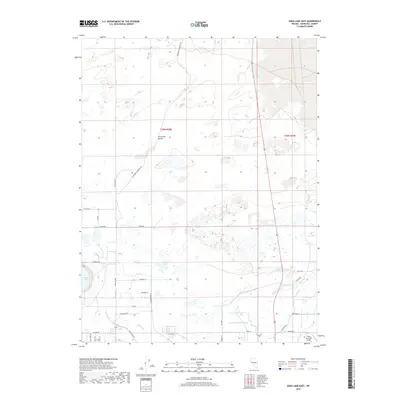
2018 Map of Soda Lake East
USGS Topo · Published 2018About this map
Fortymile Desert defines the northern reaches of this landscape, a region deeply tied to westward expansion as evidenced by the presence of the California Emigrant Trl. The map illustrates a complex network of water management features essential to this arid Basin and Range environment, including the T Line Canal, R Drain, and the Lower Soda Lake Drain. These drainage systems converge toward the namesake Soda Lake on the western edge, reflecting the engineering required to sustain agricultural or industrial efforts in the desert.
Find a feature on this map
36 named features on this map. Tap any name to fly to it.
Don’t see what you’re looking for? This feature index may not catch every label — zoom into the map to look around manually.
Map Details
Editions of this 2018 Soda Lake East Map
This is the sole edition of this map. No revisions or reprints were ever made.
Other maps of this area

1908 · Carson Sink
USGS Topo · 1:250,000

1910 · Carson Sink
USGS Topo · 1:250,000

1950 · Stillwater
USGS Topo · 1:62,500

1951 · Carson Lake
USGS Topo · 1:62,500

1951 · Soda Lake
USGS Topo · 1:62,500

1951 · Fallon
USGS Topo · 1:62,500

1957 · Reno
USGS Topo · 1:250,000

1959 · Reno
USGS Topo · 1:250,000

1960 · Reno
USGS Topo · 1:250,000

1979 · Carson Sink
USGS Topo · 1:100,000