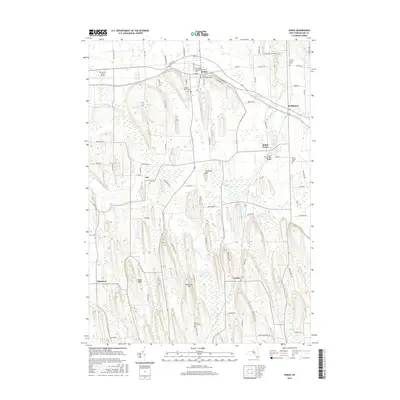
2016 Map of Sodus
USGS Topo · Published 2016About this map
Salmon Creek carves its way through the landscape of central Wayne County, connecting the established villages of Sodus, Sodus Center, and Wallington. This modern topographic survey highlights a transition between the organized street grids of the northern settlements and the distinct glacial drumlin formations that characterize the southern terrain, such as Brantling Hill and Governor Hill. The area is deeply marked by its local heritage, evidenced by the numerous family and community burial sites scattered across the countryside, including the uniquely named Kitchen Burial Plot and the Glerum Farm Cemetery.
Find a feature on this map
83 named features on this map. Tap any name to fly to it.
Don’t see what you’re looking for? This feature index may not catch every label — zoom into the map to look around manually.
Map Details
Editions of this 2016 Sodus Map
This is the sole edition of this map. No revisions or reprints were ever made.
Other maps of this area

1899 · Palmyra
USGS Topo · 1:62,500

1902 · Sodus Bay
USGS Topo · 1:62,500

1902 · Pultneyville
USGS Topo · 1:62,500

1902 · Clyde
USGS Topo · 1:62,500

1902 · Palmyra
USGS Topo · 1:62,500

1942 · Pultneyville
USGS Topo · 1:31,680

1943 · Lyons
USGS Topo · 1:31,680

1943 · Williamson
USGS Topo · 1:31,680

1943 · Sodus Point
USGS Topo · 1:31,680

1943 · Sodus
USGS Topo · 1:31,680