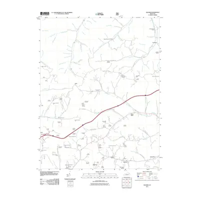
2011 Map of Soldier
USGS Topo · Published 2011About this map
Soldier, Hayward, and Haldeman cluster along the southern rail corridor of this eastern Kentucky landscape, where the Triplet Tunnel pierces the terrain. The map reveals a dense network of family and community history, evidenced by the high concentration of small burial grounds like Rayburn Community Cemetery, Hankins Cemetery, and Shumate Cemetery One that dot the hollows.
Find a feature on this map
126 named features on this map. Tap any name to fly to it.
Don’t see what you’re looking for? This feature index may not catch every label — zoom into the map to look around manually.
Map Details
Editions of this 2011 Soldier Map
This is the sole edition of this map. No revisions or reprints were ever made.
Other maps of this area

1929 · Morehead
USGS Topo · 1:48,000

1935 · Morehead
USGS Topo · 1:62,500

1950 · Head Of Grassy
USGS Topo · 1:24,000

1950 · Wesleyville
USGS Topo · 1:24,000

1950 · Olive Hill
USGS Topo · 1:24,000

1950 · Ault
USGS Topo · 1:24,000

1951 · Soldier
USGS Topo · 1:24,000

1951 · Cranston
USGS Topo · 1:24,000

1951 · Stricklett
USGS Topo · 1:24,000

1953 · Haldeman
USGS Topo · 1:24,000