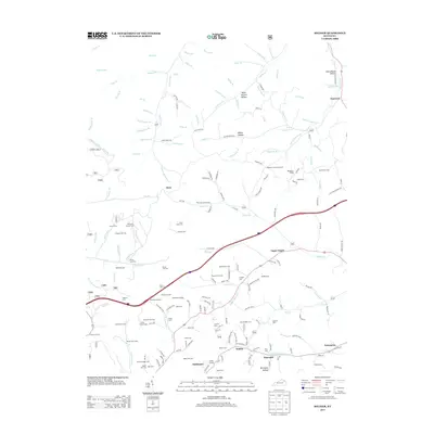
2013 Map of Soldier
USGS Topo · Published 2013About this map
The community of Soldier and the winding course of Upper Tygart define this Carter County landscape during the early 21st century. The map reveals a dense network of family and community history, evidenced by an exceptional number of burial sites such as Rayburn Community Cem, Flat Fork Church Cem, and the King Family Cem. The terrain is deeply incised by countless drainages like Holly Fork and Lester Fork, with settlements such as Hayward and Enterprise clustered along the primary road and rail corridors. Engineering and geology meet at the Triplet Tunnel near Haldeman, while the presence of the Henderson Shelter and Easterline Shelter suggests the importance of natural rock formations in the local geography. This survey provides a meticulous record of the area's rural infrastructure, from the Old Soldier Rd to the numerous hollows like Schoolhouse Hollow that have historically shaped local settlement patterns.
Find a feature on this map
184 named features on this map. Tap any name to fly to it.
Don’t see what you’re looking for? This feature index may not catch every label — zoom into the map to look around manually.
Map Details
Editions of this 2013 Soldier Map
This is the sole edition of this map. No revisions or reprints were ever made.
Other maps of this area

1929 · Morehead
USGS Topo · 1:48,000

1935 · Morehead
USGS Topo · 1:62,500

1950 · Head Of Grassy
USGS Topo · 1:24,000

1950 · Wesleyville
USGS Topo · 1:24,000

1950 · Olive Hill
USGS Topo · 1:24,000

1950 · Ault
USGS Topo · 1:24,000

1951 · Soldier
USGS Topo · 1:24,000

1951 · Cranston
USGS Topo · 1:24,000

1951 · Stricklett
USGS Topo · 1:24,000

1953 · Haldeman
USGS Topo · 1:24,000