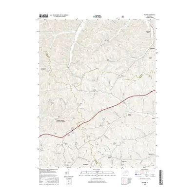
2016 Map of Soldier
USGS Topo · Published 2016About this map
Daniel Boone National Forest covers the western portion of this 2016 survey, where the rugged terrain of eastern Kentucky is defined by a dense network of hollows and family cemeteries. The landscape is a complex of narrow valleys like Little White Pine Hollow and Wiles Stevens Hollow, which drain into water bodies such as Old Trace Creek and Saw Pit Branch. Small communities and rail-related features anchor the southern corridor, most notably Haldeman and the Triplet Tunnel near Tunl Cut Lp.
Find a feature on this map
167 named features on this map. Tap any name to fly to it.
Don’t see what you’re looking for? This feature index may not catch every label — zoom into the map to look around manually.
Map Details
Editions of this 2016 Soldier Map
This is the sole edition of this map. No revisions or reprints were ever made.
Other maps of this area

1929 · Morehead
USGS Topo · 1:48,000

1935 · Morehead
USGS Topo · 1:62,500

1950 · Head Of Grassy
USGS Topo · 1:24,000

1950 · Wesleyville
USGS Topo · 1:24,000

1950 · Olive Hill
USGS Topo · 1:24,000

1950 · Ault
USGS Topo · 1:24,000

1951 · Soldier
USGS Topo · 1:24,000

1951 · Cranston
USGS Topo · 1:24,000

1951 · Stricklett
USGS Topo · 1:24,000

1953 · Haldeman
USGS Topo · 1:24,000