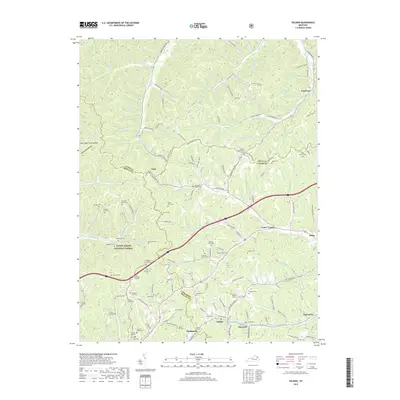
2019 Map of Soldier
USGS Topo · Published 2019About this map
Soldier, Hayward, and Haldeman anchor the southern corridor of this map, reflecting the industrial and rail-oriented development of this portion of Eastern Kentucky. The landscape is defined by the convergence of Lewis, Rowan, and Carter counties, where the Daniel Boone National Forest preserves significant wooded acreage. The topography is deeply incised by drainages like Greasy Creek and Fleming Fork, creating a network of ridges such as Stevens Ridge and Golden Ridge.
Find a feature on this map
171 named features on this map. Tap any name to fly to it.
Don’t see what you’re looking for? This feature index may not catch every label — zoom into the map to look around manually.
Map Details
Editions of this 2019 Soldier Map
This is the sole edition of this map. No revisions or reprints were ever made.
Other maps of this area

1929 · Morehead
USGS Topo · 1:48,000

1935 · Morehead
USGS Topo · 1:62,500

1950 · Head Of Grassy
USGS Topo · 1:24,000

1950 · Wesleyville
USGS Topo · 1:24,000

1950 · Olive Hill
USGS Topo · 1:24,000

1950 · Ault
USGS Topo · 1:24,000

1951 · Soldier
USGS Topo · 1:24,000

1951 · Cranston
USGS Topo · 1:24,000

1951 · Stricklett
USGS Topo · 1:24,000

1953 · Haldeman
USGS Topo · 1:24,000