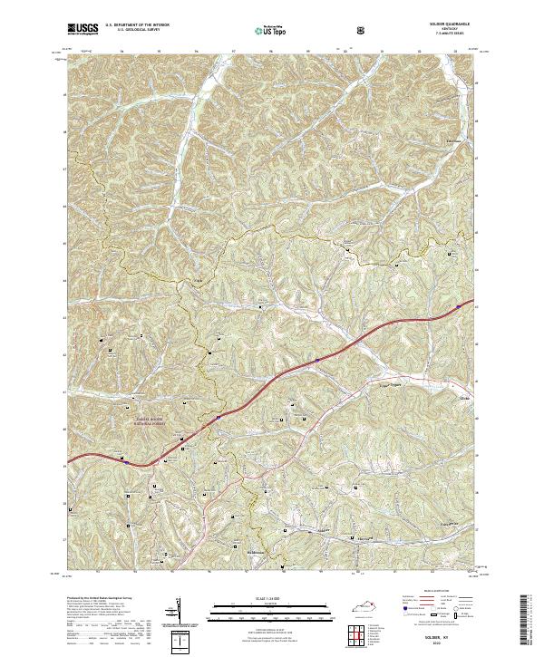
2022 Map of Soldier
USGS Topo · Published 2022About this map
Daniel Boone National Forest blankets the western reaches of this landscape, where the rugged headwaters of Tygarts Creek and Greasy Creek carve through the hills of eastern Kentucky. This 2022 survey captures the complex drainage systems of the region, from Old Trace Creek in the north to the Soldier Fork in the south. The area is defined by its small, dispersed communities including Soldier, Haldeman, and Emerson, many of which follow the winding path of the CSX rail line and State HWY 1662. Genealogists will find this particular sheet exceptionally dense with family-named landmarks, documenting numerous small burial grounds such as Mabry Hill Cem, Stevens Stigall Cem, and Fitzpatrick Cem. These sites, often situated on high ridges or tucked into hollows like Schoolhouse Hollow, provide a detailed record of the rural families who have long inhabited these creek valleys.
Find a feature on this map
112 named features on this map. Tap any name to fly to it.
Don’t see what you’re looking for? This feature index may not catch every label — zoom into the map to look around manually.
Map Details
Editions of this 2022 Soldier Map
This is the sole edition of this map. No revisions or reprints were ever made.
Other maps of this area

1929 · Morehead
USGS Topo · 1:48,000

1935 · Morehead
USGS Topo · 1:62,500

1950 · Head Of Grassy
USGS Topo · 1:24,000

1950 · Wesleyville
USGS Topo · 1:24,000

1950 · Olive Hill
USGS Topo · 1:24,000

1950 · Ault
USGS Topo · 1:24,000

1951 · Soldier
USGS Topo · 1:24,000

1951 · Cranston
USGS Topo · 1:24,000

1951 · Stricklett
USGS Topo · 1:24,000

1953 · Haldeman
USGS Topo · 1:24,000