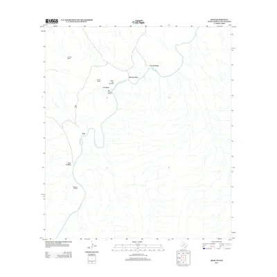
2012 Map of Solis
USGS Topo · Published 2012About this map
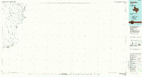
The Rio Grande snakes through this remote stretch of Brewster County, defining the international boundary and carving prominent features like Mariscal Canyon and San Vincent Canyon. This 2012 survey illustrates a landscape where human habitation is sparse and tied closely to the river and its intermittent drainage systems. Small named locales such as Solis, Solis Landing, and Rooneys Place suggest a history of localized ranching or river crossings in an area otherwise dominated by the desert terrain of Iron Mtn and Sierra San Vincente.
Find a feature on this map
13 named features on this map. Tap any name to fly to it.
Don’t see what you’re looking for? This feature index may not catch every label — zoom into the map to look around manually.
Map Details
Editions of this 2012 Solis Map
This is the sole edition of this map. No revisions or reprints were ever made.
Other maps of this area

1903 · Chisos Mountains
USGS Topo · 1:125,000

1905 · Chisos Mountains
USGS Topo · 1:125,000

1959 · Emory Peak
USGS Topo · 1:250,000

1965 · Emory Peak
USGS Topo · 1:250,000
1970 · Solis
USGS Topo · 1:24,000

1971 · Glenn Spring
USGS Topo · 1:24,000
1971 · Boquillas
USGS Topo · 1:24,000
1971 · San Vicente
USGS Topo · 1:24,000
1984 · Boquillas
USGS Topo · 1:100,000

1985 · Chisos Mountains
USGS Topo · 1:100,000