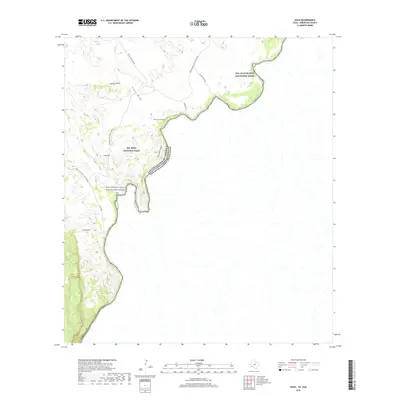
2019 Map of Solis
USGS Topo · Published 2019About this map
The Rio Grande Wild and Scenic River carves a deep international boundary through the Chihuahuan Desert landscape of Big Bend National Park. This remote riverine corridor is defined by its dramatic geology, featuring the towering walls of Mariscal Canyon and San Vincent Canyon. Upland from the river, the terrain is shaped by arid drainage systems like Juniper Draw and Glenn Draw, which cut toward the peaks of Sierra San Vicente and Iron Mtn. Human presence in this isolated reach is marked by primitive routes and landings, including Solis Lndg and the settlement at Solis. These points, along with the family-named Rooney's Pl, reflect the enduring ranching and river-access history of Brewster County. Access remains limited to rugged tracks such as Casa De Piedra Rd and the historic Glenn Springs to Hot Springs route, emphasizing the area's character as a protected wilderness.
Find a feature on this map
18 named features on this map. Tap any name to fly to it.
Don’t see what you’re looking for? This feature index may not catch every label — zoom into the map to look around manually.
Map Details
Editions of this 2019 Solis Map
This is the sole edition of this map. No revisions or reprints were ever made.
Other maps of this area

1903 · Chisos Mountains
USGS Topo · 1:125,000

1905 · Chisos Mountains
USGS Topo · 1:125,000

1959 · Emory Peak
USGS Topo · 1:250,000

1965 · Emory Peak
USGS Topo · 1:250,000
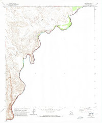
1970 · Solis
USGS Topo · 1:24,000

1971 · Glenn Spring
USGS Topo · 1:24,000
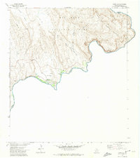
1971 · Boquillas
USGS Topo · 1:24,000
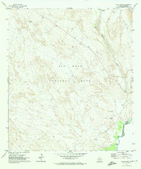
1971 · San Vicente
USGS Topo · 1:24,000
1984 · Boquillas
USGS Topo · 1:100,000

1985 · Chisos Mountains
USGS Topo · 1:100,000