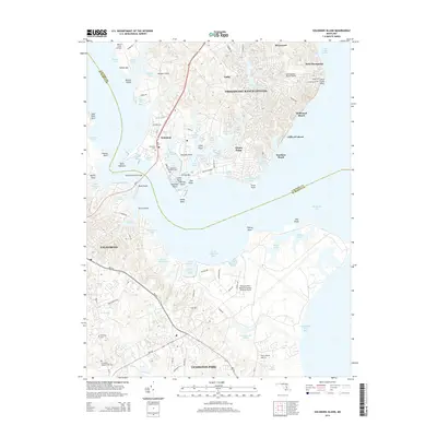
2014 Map of Solomons Island
USGS Topo · Published 2014About this map
The Patuxent River Naval Air Station (Trapnell Field) dominates the southern landscape of this coastal survey, highlighting the significant military footprint in Saint Mary's County. To the north, the intricate shoreline of Solomons Island and the residential developments of Chesapeake Ranch Estates reflect the modern character of this Chesapeake Bay community. The Thomas Johnson Bridge serves as a critical link across the Patuxent River, connecting Town Point with the western reaches near California. Genealogists will find interest in several local burial grounds, including Solomons Island Cem and Ebenezer Cem. The map illustrates a complex network of coves and inlets such as Back Creek and Lusby Cove, alongside landmarks like the Chesapeake Ranch Airport and the towering Cliffs of Calvert along the bay front.
Find a feature on this map
79 named features on this map. Tap any name to fly to it.
Don’t see what you’re looking for? This feature index may not catch every label — zoom into the map to look around manually.
Map Details
Editions of this 2014 Solomons Island Map
This is the sole edition of this map. No revisions or reprints were ever made.
Other maps of this area

1892 · Leonardtown
USGS Topo · 1:62,500

1892 · Drum Point
USGS Topo · 1:62,500

1892 · Piney Point
USGS Topo · 1:62,500

1894 · Piney Point
USGS Topo · 1:62,500

1894 · Point Lookout
USGS Topo · 1:62,500

1895 · Leonardtown
USGS Topo · 1:62,500

1895 · Nomini
USGS Topo · 1:125,000

1895 · Piney Point
USGS Topo · 1:62,500

1898 · Nomini
USGS Topo · 1:125,000

1898 · St. Marys
USGS Topo · 1:125,000