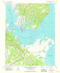
1944 Map of Solomons Island
USGS Topo · Published 1969About this map
The Patuxent River converges with the Chesapeake Bay at this strategic coastal point, which was dominated by military and maritime activity during the mid-1940s. The U S Naval Reservation occupies a massive footprint across the southern peninsula, while the community of Lexington Park appears in its early stages of development nearby. The intricate shoreline is defined by numerous deep-water inlets, including Mill Creek, Back Creek, and St John Creek, which provide sheltered harbor for the historic fishing and shipbuilding village of Solomons Island.
Find a feature on this map
81 named features on this map. Tap any name to fly to it.
Don’t see what you’re looking for? This feature index may not catch every label — zoom into the map to look around manually.
Map Details
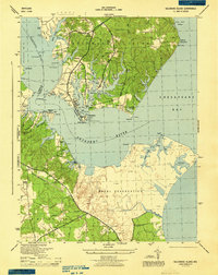
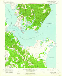
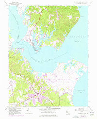
Editions of this 1944 Solomons Island Map
4 editions found
Other maps of this area

1892 · Leonardtown
USGS Topo · 1:62,500

1892 · Drum Point
USGS Topo · 1:62,500

1892 · Piney Point
USGS Topo · 1:62,500

1894 · Piney Point
USGS Topo · 1:62,500

1894 · Point Lookout
USGS Topo · 1:62,500

1895 · Leonardtown
USGS Topo · 1:62,500

1895 · Nomini
USGS Topo · 1:125,000

1895 · Piney Point
USGS Topo · 1:62,500

1898 · Nomini
USGS Topo · 1:125,000

1898 · St. Marys
USGS Topo · 1:125,000