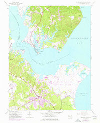
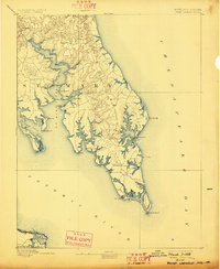
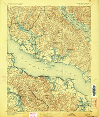
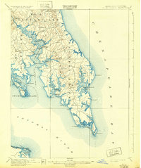
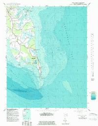
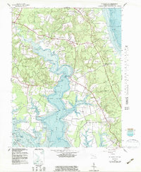
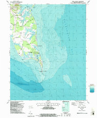
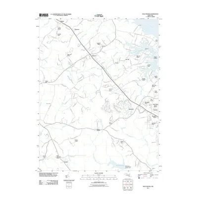
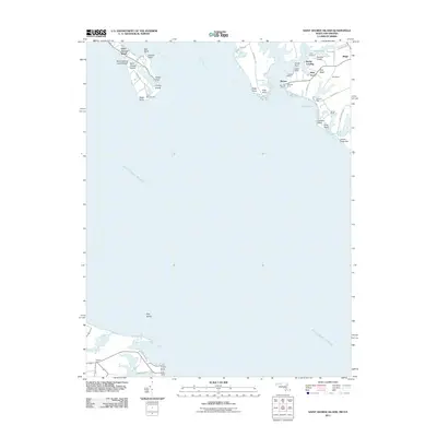
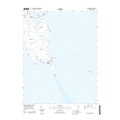
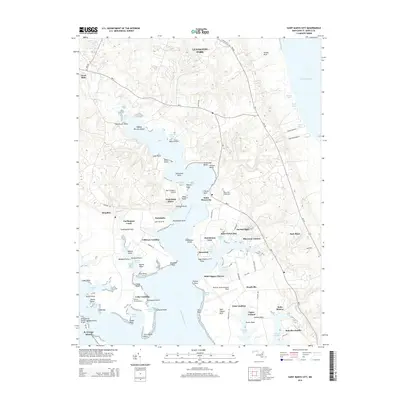
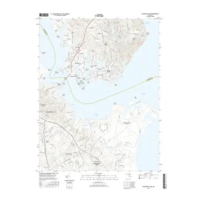
1944 Map of Solomons Island
USGS Topo · Published 1976About this map
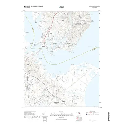
Patuxent River Air Test Center and the U S Naval Reservation dominate the southern and central shoreline where the Patuxent River meets the Chesapeake Bay. This 1944 survey, with revisions into the mid-1970s, documents the strategic military footprint in St. Mary's and Calvert Counties during a period of rapid mid-century expansion. The map details the intricate shoreline of the lower Patuxent, featuring numerous coves such as Hellen Creek, Back Creek, and Mill Creek that shaped the maritime character of settlements like Solomons and Johnstown. Landward, the growth of Lexington Park and the smaller community of Jonestown contrast with the rural crossroads of Appeal and Newtown. Of particular interest to local historians are the locations of the Olive Sch and various family-named landmarks like Jarboesville Run and Hilton Run, which provide a clear picture of the area's development before modern suburban sprawl.
Find a feature on this map
70 named features on this map. Tap any name to fly to it.
Don’t see what you’re looking for? This feature index may not catch every label — zoom into the map to look around manually.
Map Details
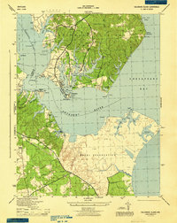
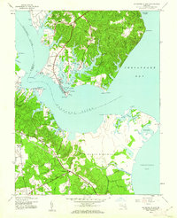
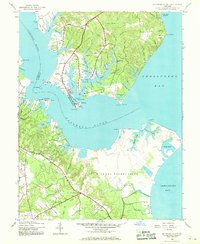
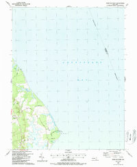
Editions of this 1944 Solomons Island Map
4 editions found
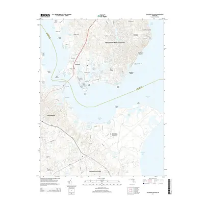
Historical Maps of Lexington Park Through Time
53 maps found
1894 Point Lookout
St. Mary's County, MD

1895 Nomini
St. Mary's County, MD
1898 Nomini
St. Mary's County, MD
1912 Point Lookout
St. Mary's County, MD
1937 Point Lookout
St. Mary's County, MD
1942 Point Lookout
St. Mary's County, MD
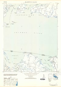
1943 Blakiston Island
St. Mary's County, MD
1943 Point Lookout
St. Mary's County, MD
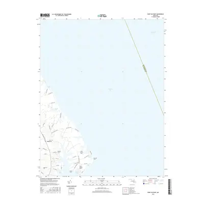
1943 Point No Point
St. Mary's County, MD
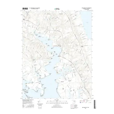
1943 St. Marys City
St. Mary's County, MD
1944 Solomons Island
St. Mary's County, MD
1953 Blakiston Island
St. Mary's County, MD
1963 Hollywood
St. Mary's County, MD
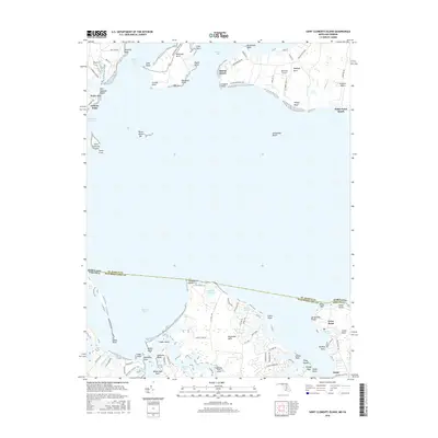
1968 St. Clements Island
St. Mary's County, MD
1987 Point Lookout
St. Mary's County, MD
1987 Point No Point
St. Mary's County, MD
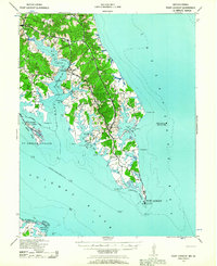
1987 Solomons Island
St. Mary's County, MD
1987 St. Marys City
St. Mary's County, MD
2011 Hollywood
St. Mary's County, MD
2011 Point Lookout
St. Mary's County, MD
2011 Point No Point
St. Mary's County, MD
2011 Saint Clements Island
St. Mary's County, MD
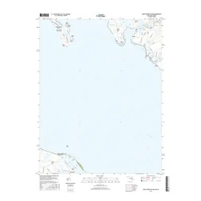
2011 Saint George Island
St. Mary's County, MD
2011 Saint Marys City
St. Mary's County, MD
2011 Solomons Island
St. Mary's County, MD
2014 Hollywood
St. Mary's County, MD
2014 Point Lookout
St. Mary's County, MD
2014 Point No Point
St. Mary's County, MD
2014 Saint Clements Island
St. Mary's County, MD
2014 Saint George Island
St. Mary's County, MD
2014 Saint Marys City
St. Mary's County, MD
2014 Solomons Island
St. Mary's County, MD
2016 Hollywood
St. Mary's County, MD
2016 Point Lookout
St. Mary's County, MD
2016 Point No Point
St. Mary's County, MD
2016 Saint Clements Island
St. Mary's County, MD
2016 Saint George Island
St. Mary's County, MD
2016 Saint Marys City
St. Mary's County, MD
2016 Solomons Island
St. Mary's County, MD
2019 Hollywood
St. Mary's County, MD
2019 Point Lookout
St. Mary's County, MD
2019 Point No Point
St. Mary's County, MD
2019 Saint Clements Island
St. Mary's County, MD
2019 Saint George Island
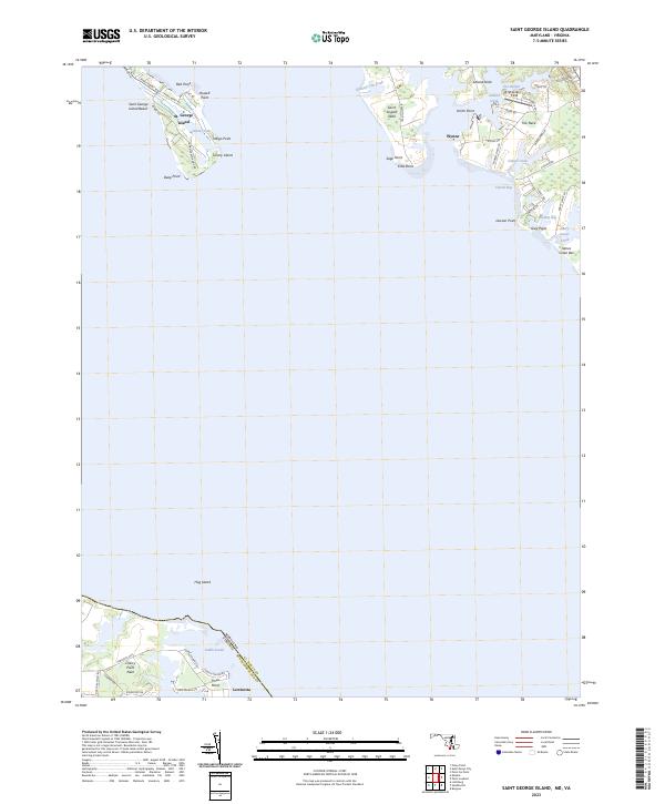
St. Mary's County, MD
2019 Saint Marys City
St. Mary's County, MD
2019 Solomons Island
St. Mary's County, MD
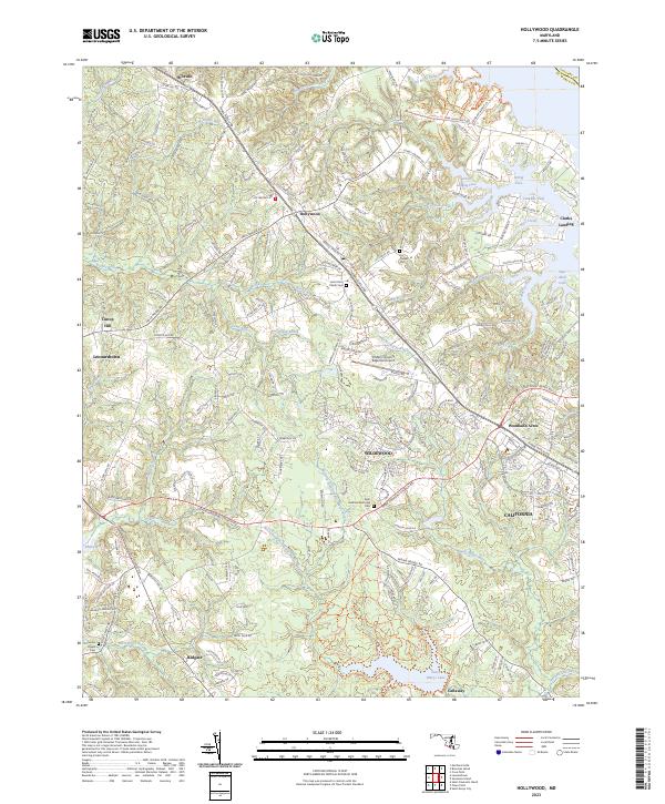
2023 Hollywood
St. Mary's County, MD
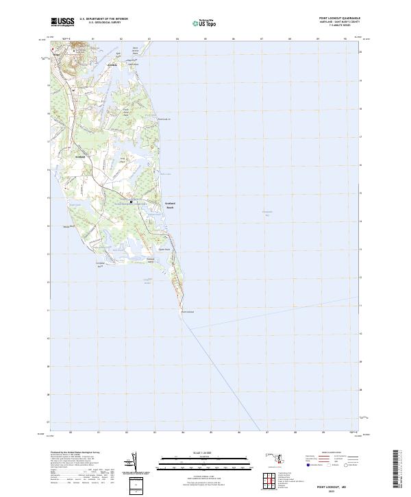
2023 Point Lookout
St. Mary's County, MD
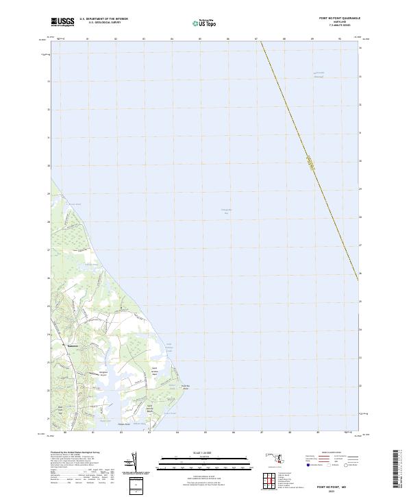
2023 Point No Point
St. Mary's County, MD
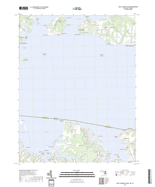
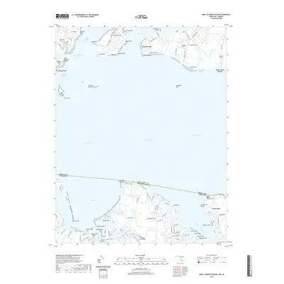
2023 Saint Clements Island
St. Mary's County, MD
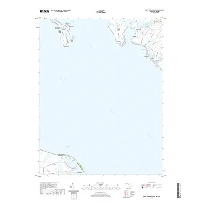
2023 Saint George Island
St. Mary's County, MD
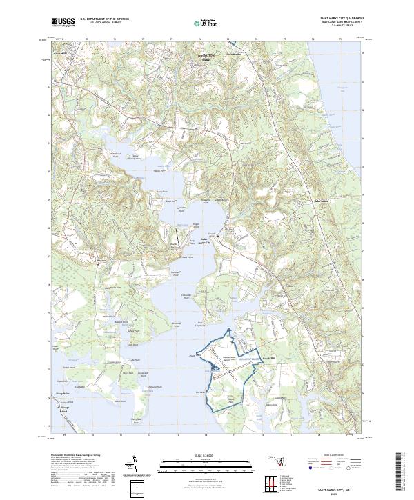
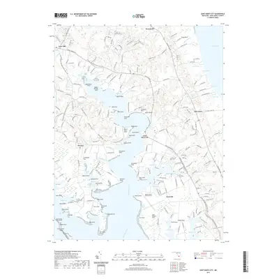
2023 Saint Marys City
St. Mary's County, MD
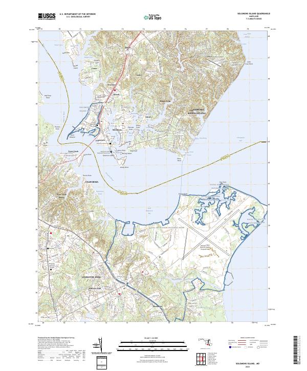
2023 Solomons Island
St. Mary's County, MD