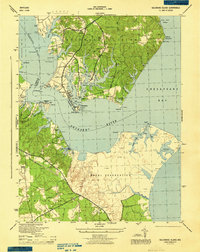
1944 Map of Solomons Island
USGS Topo · Published 1944About this map
The Patuxent River and Chesapeake Bay define the landscape of this 1944 survey, centered on the strategic maritime geography of Solomons Island. At the height of wartime activity, a large Naval Reservation dominates the southern shore, while a network of established waterfront communities like Johnstown, Olivet, and Dowell cluster around the sheltered waters of Back Creek and Mill Creek. The map documents a blend of military infrastructure and traditional tidewater life, where family-named landmarks and local hubs like the Cherry Hill School and Ebenezer Church stand alongside significant naval installations.
Find a feature on this map
67 named features on this map. Tap any name to fly to it.
Don’t see what you’re looking for? This feature index may not catch every label — zoom into the map to look around manually.
Map Details
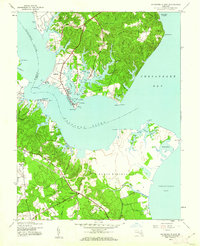
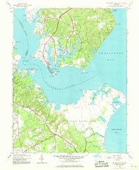
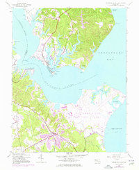
Editions of this 1944 Solomons Island Map
4 editions found
Other maps of this area

1892 · Leonardtown
USGS Topo · 1:62,500

1892 · Drum Point
USGS Topo · 1:62,500

1892 · Piney Point
USGS Topo · 1:62,500

1894 · Piney Point
USGS Topo · 1:62,500

1894 · Point Lookout
USGS Topo · 1:62,500

1895 · Leonardtown
USGS Topo · 1:62,500

1895 · Nomini
USGS Topo · 1:125,000

1895 · Piney Point
USGS Topo · 1:62,500

1898 · Nomini
USGS Topo · 1:125,000

1898 · St. Marys
USGS Topo · 1:125,000