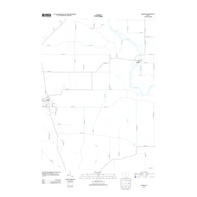
2013 Map of Solon
USGS Topo · Published 2013About this map
Solon serves as a primary population center in this part of Johnson County, situated along the western edge of a landscape defined by the winding course of the Cedar River. The settlement of Sutliff sits further east, where the historic Sutliff Bridge crosses the river, connecting local routes like Co Hwy-F14 and Sutliff 280 NE. This riverine environment is shaped by numerous tributaries, including the eastward-flowing Mill Cr and the drainage systems of Rapid Cr and Turkey Cr to the south. The grid of secondary roads such as Wapsi Ave NE and White Oak Ave NE illustrates the enduring agricultural character of the region, marking the boundaries between farmsteads and the wooded corridors of the river valley.
Find a feature on this map
58 named features on this map. Tap any name to fly to it.
Don’t see what you’re looking for? This feature index may not catch every label — zoom into the map to look around manually.
Map Details
Editions of this 2013 Solon Map
This is the sole edition of this map. No revisions or reprints were ever made.
Other maps of this area

1887 · Cedar Rapids
USGS Topo · 1:62,500

1891 · Mechanicsville
USGS Topo · 1:62,500

1891 · Cedar Rapids
USGS Topo · 1:62,500

1891 · Iowa City
USGS Topo · 1:62,500

1894 · Mechanicsville
USGS Topo · 1:62,500

1894 · West Liberty
USGS Topo · 1:62,500

1901 · Stanwood
USGS Topo · 1:125,000

1903 · Fairfax
USGS Topo · 1:125,000

1938 · Iowa City
USGS Topo · 1:62,500

1958 · Davenport
USGS Topo · 1:250,000