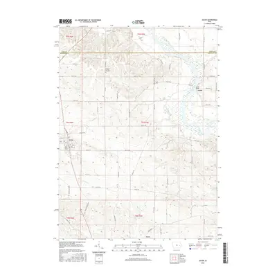
2015 Map of Solon
USGS Topo · Published 2015About this map
Solon serves as the primary hub for this portion of eastern Iowa, situated near the headwaters of several drainage systems. The landscape is defined by the winding course of the Cedar River to the northeast, where the small community of Sutliff is located. This area contains the notable Sutliff Bridge and the nearby Sutliff Cem, marking a historic crossing point and early settlement node along the riverbanks. The township structure is well-defined by a network of rural roads such as Sutliff Rd NE and Taft Ave.
Find a feature on this map
70 named features on this map. Tap any name to fly to it.
Don’t see what you’re looking for? This feature index may not catch every label — zoom into the map to look around manually.
Map Details
Editions of this 2015 Solon Map
This is the sole edition of this map. No revisions or reprints were ever made.
Other maps of this area

1887 · Cedar Rapids
USGS Topo · 1:62,500

1891 · Mechanicsville
USGS Topo · 1:62,500

1891 · Cedar Rapids
USGS Topo · 1:62,500

1891 · Iowa City
USGS Topo · 1:62,500

1894 · Mechanicsville
USGS Topo · 1:62,500

1894 · West Liberty
USGS Topo · 1:62,500

1901 · Stanwood
USGS Topo · 1:125,000

1903 · Fairfax
USGS Topo · 1:125,000

1938 · Iowa City
USGS Topo · 1:62,500

1958 · Davenport
USGS Topo · 1:250,000