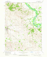
1965 Map of Solon
USGS Topo · Published 1967About this map
The Cedar River carves a winding path through the eastern half of this Johnson County landscape, creating a distinct boundary for the townships of Franklin and Cedar. The village of Solon serves as a primary hub in the west, situated near the wooded expanse of Big Grove and the eastern edge of Lake Macbride State Park. Transportation patterns are defined by the Chicago Rock Island and Pacific railroad, which cuts diagonally across the southern terrain through the small settlement of Morse. Further north, the river crossing at Sutliff remains a focal point of local activity, marked by the nearby Sutliff Cem. The map documents a rural Iowa community in the mid-1960s, where traditional landmarks like SS Peter and Paul Ch stand alongside numerous creek systems including Mill Creek, Jordan Creek, and Clear Creek.
Find a feature on this map
20 named features on this map. Tap any name to fly to it.
Don’t see what you’re looking for? This feature index may not catch every label — zoom into the map to look around manually.
Map Details
Editions of this 1965 Solon Map
This is the sole edition of this map. No revisions or reprints were ever made.
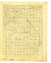
Other maps of this area

1887 · Cedar Rapids
USGS Topo · 1:62,500

1891 · Mechanicsville
USGS Topo · 1:62,500

1891 · Cedar Rapids
USGS Topo · 1:62,500

1891 · Iowa City
USGS Topo · 1:62,500

1894 · Mechanicsville
USGS Topo · 1:62,500
1894 · West Liberty
USGS Topo · 1:62,500

1901 · Stanwood
USGS Topo · 1:125,000

1903 · Fairfax
USGS Topo · 1:125,000
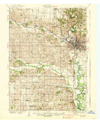
1938 · Iowa City
USGS Topo · 1:62,500

1958 · Davenport
USGS Topo · 1:250,000