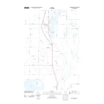
2013 Map of Solon Springs
USGS Topo · Published 2013About this map
Solon Springs serves as the focal point of this northern Wisconsin landscape, situated along the western shores of Upper Saint Croix Lake. The community's infrastructure is clearly defined, from the central residential blocks to the Solon Springs Municipal Airport located just south of the main settlement. The hydrology of the region is a dominant characteristic, featuring the drainage of Park Cr and the quiet waters of Park Creek Pond. To the south, the terrain opens into the Saint Croix Flowage, where the prominent Wilcox Island stands as a significant landmark. This 2013 survey provides a clear view of the area's modern road network and its relationship with the upper reaches of the Saint Croix River system, illustrating how the village remains integrated with the surrounding water bodies and forested tracts.
Find a feature on this map
6 named features on this map. Tap any name to fly to it.
Don’t see what you’re looking for? This feature index may not catch every label — zoom into the map to look around manually.
Map Details
Editions of this 2013 Solon Springs Map
This is the sole edition of this map. No revisions or reprints were ever made.
Other maps of this area

1945 · Highland
USGS Topo · 1:48,000

1945 · Solon Springs
USGS Topo · 1:48,000

1947 · Chittamo
USGS Topo · 1:48,000

1947 · Minong
USGS Topo · 1:48,000

1949 · Solon Springs
USGS Topo · 1:48,000

1949 · Chittamo
USGS Topo · 1:48,000

1949 · Minong
USGS Topo · 1:48,000

1949 · Highland
USGS Topo · 1:48,000

1953 · Ashland
USGS Topo · 1:250,000
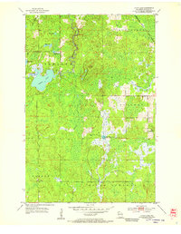
1954 · Lyman Lake
USGS Topo · 1:24,000