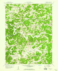
1956 Map of Solsberry
USGS Topo · Published 1959About this map
Richland Creek and its many tributaries, including Beech Creek and Dry Branch, dominate this mid-century landscape in Greene County. The area is characterized by a high density of rural community landmarks, particularly country churches and family cemeteries that reflect the local genealogy of the township. Significant social hubs include Mt Calvary Ch, Sylvania Ch, and Sharkey Ch, while the Combs Sch served the educational needs of the surrounding valley residents. The Illinois Central railroad cuts through the eastern portion of the quadrangle, facilitating the movement of goods and people through the village of Solsberry. Low-lying agricultural areas such as American Bottoms and Bridge Bottoms contrast with the higher elevations of the surrounding townships, illustrating how the drainage patterns of the Beech Creek system shaped the placement of early settlements like Ridgeport.
Find a feature on this map
33 named features on this map. Tap any name to fly to it.
Don’t see what you’re looking for? This feature index may not catch every label — zoom into the map to look around manually.
Map Details
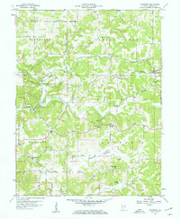
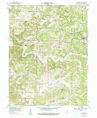
Editions of this 1956 Solsberry Map
3 editions found
Other maps of this area

1908 · Bloomington
USGS Topo · 1:48,000

1908 · Bloomfield
USGS Topo · 1:62,500

1910 · Bloomington
USGS Topo · 1:62,500

1935 · Oolitic
USGS Topo · 1:48,000

1942 · Oolitic
USGS Topo · 1:62,500

1950 · Arney
USGS Topo · 1:24,000

1951 · Bloomfield
USGS Topo · 1:24,000

1953 · Indianapolis
USGS Topo · 1:250,000

1956 · Indianapolis
USGS Topo · 1:250,000

1956 · Freedom
USGS Topo · 1:24,000