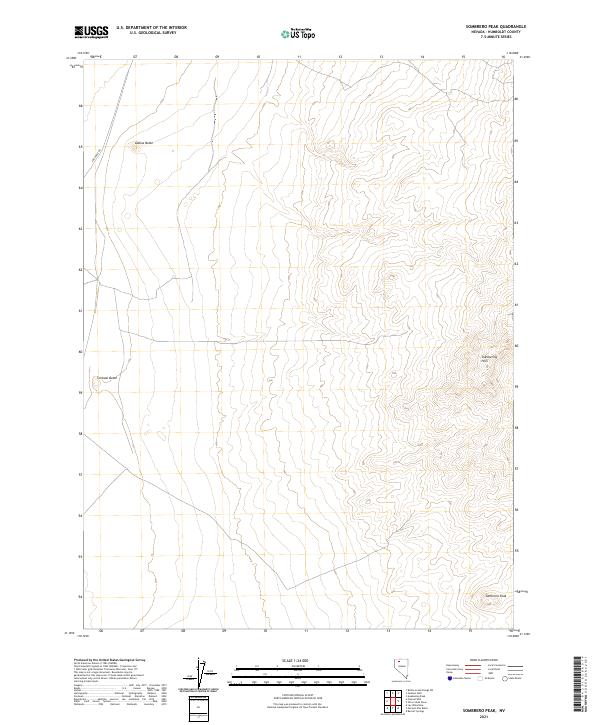
2021 Map of Sombrero Peak
USGS Topo · Published 2021About this map
Sombrero Peak rises at the southeastern edge of this Nevada landscape, anchoring a quadrangle defined by high-desert terrain and volcanic features. The eastern boundary is dominated by the Slumbering Hills, a north-south alignment of ridges that contrasts with the open flats to the west. Across these western reaches, the isolated profiles of Gabica Butte and Corbeal Butte serve as distinct navigational landmarks in an area with sparse human infrastructure.
Find a feature on this map
9 named features on this map. Tap any name to fly to it.
Don’t see what you’re looking for? This feature index may not catch every label — zoom into the map to look around manually.
Map Details
Editions of this 2021 Sombrero Peak Map
This is the sole edition of this map. No revisions or reprints were ever made.
Other maps of this area

1882 · Paradise
USGS Topo · 1:250,000

1886 · Disaster
USGS Topo · 1:250,000

1893 · Paradise
USGS Topo · 1:250,000

1893 · Disaster
USGS Topo · 1:250,000

1954 · Vya
USGS Topo · 1:250,000

1955 · McDermitt
USGS Topo · 1:250,000

1958 · Vya
USGS Topo · 1:250,000

1958 · Awakening Peak
USGS Topo · 1:62,500

1959 · McDermitt
USGS Topo · 1:250,000

1962 · Vya
USGS Topo · 1:250,000