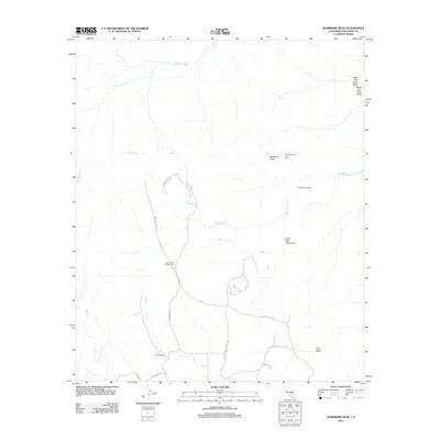
2012 Map of Sombrero Peak
USGS Topo · Published 2012About this map
Sombrero Peak and the surrounding In-Ko-Pah Mountains define the high desert landscape of this San Diego County quadrangle. The map details a transition from the dry beds of Canebrake Wash to unique botanical points such as the Sombrero Peak Palm Grove and Bow Willow Palms. Water sources like Bow Willow Cr and Tule Cr have historically dictated movement and land use in this arid environment, influencing the location of the McCain Ranch near the intersection of several local routes.
Find a feature on this map
20 named features on this map. Tap any name to fly to it.
Don’t see what you’re looking for? This feature index may not catch every label — zoom into the map to look around manually.
Map Details
Editions of this 2012 Sombrero Peak Map
This is the sole edition of this map. No revisions or reprints were ever made.
Other maps of this area

1931 · Carrizo
USGS Topo · 1:125,000

1939 · Campo
USGS Topo · 1:62,500

1939 · Jacumba
USGS Topo · 1:62,500

1942 · Campo
USGS Topo · 1:62,500

1942 · Carrizo Mtn
USGS Topo · 1:62,500

1942 · Jacumba
USGS Topo · 1:62,500

1942 · Cuyapaipe
USGS Topo · 1:62,500

1950 · San Diego
USGS Topo · 1:250,000

1954 · San Diego
USGS Topo · 1:250,000

1955 · San Diego
USGS Topo · 1:250,000