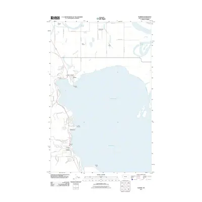
2011 Map of Somers
USGS Topo · Published 2011About this map
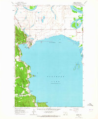
Flathead Lake dominates the center of this landscape, its western shores supporting the developing communities of Somers and Lakeside. Near the northern shoreline, the Somers Post Office and Somers Vol Fire Dept anchor a settlement pattern that follows the curve of the water toward Invitation Island. The topography reveals a mix of recreational and agricultural land use, ranging from the Edgewater Resort and Campground on the lakefront to the Abel Ranch and Flathead Lake Sky Ranch further inland. Along the northern edge, the Flathead River meanders toward Fennon Slough, while the Bethel Cemetery stands as a quiet inland landmark amidst the network of local roads like Manning RD and Somers Stage RD. This 2011 survey illustrates the modern configuration of these lakeside towns, tracing the transition from historic ranchlands to residential and seasonal lakeside properties.
Find a feature on this map
50 named features on this map. Tap any name to fly to it.
Don’t see what you’re looking for? This feature index may not catch every label — zoom into the map to look around manually.
Map Details
Editions of this 2011 Somers Map
This is the sole edition of this map. No revisions or reprints were ever made.
Other maps of this area
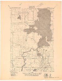
1920 · Flathead Lake
USGS Topo · 1:125,000
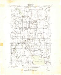
1943 · Kalispell
USGS Topo · 1:125,000
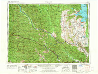
1956 · Wallace
USGS Topo · 1:250,000
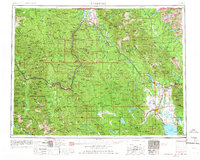
1957 · Kalispell
USGS Topo · 1:250,000
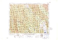
1960 · Kalispell
USGS Topo · 1:250,000
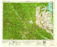
1960 · Wallace
USGS Topo · 1:250,000
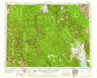
1961 · Kalispell
USGS Topo · 1:250,000
1962 · Lion Mountain
USGS Topo · 1:24,000
1962 · Somers
USGS Topo · 1:24,000
1962 · Creston
USGS Topo · 1:24,000