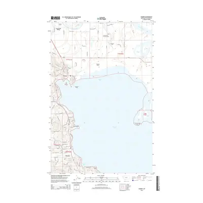
2014 Map of Somers
USGS Topo · Published 2014About this map
The northwestern shores of Flathead Lake dominate this landscape, where the communities of Somers and Lakeside are connected by the thoroughfare of Us-93. This 2014 survey reveals a transition from the agricultural expanse of the Flathead Valley to the wooded terrain of the Flathead NF along the lake's edge. The presence of several private airstrips, including Sanders Airport, Flathead Lake Sky Ranch Airport, and Abel Ranch Airport, suggests a specialized transportation network serving local ranches and residents.
Find a feature on this map
76 named features on this map. Tap any name to fly to it.
Don’t see what you’re looking for? This feature index may not catch every label — zoom into the map to look around manually.
Map Details
Editions of this 2014 Somers Map
This is the sole edition of this map. No revisions or reprints were ever made.
Other maps of this area

1920 · Flathead Lake
USGS Topo · 1:125,000

1943 · Kalispell
USGS Topo · 1:125,000

1956 · Wallace
USGS Topo · 1:250,000

1957 · Kalispell
USGS Topo · 1:250,000

1960 · Kalispell
USGS Topo · 1:250,000

1960 · Wallace
USGS Topo · 1:250,000

1961 · Kalispell
USGS Topo · 1:250,000

1962 · Lion Mountain
USGS Topo · 1:24,000

1962 · Somers
USGS Topo · 1:24,000

1962 · Creston
USGS Topo · 1:24,000