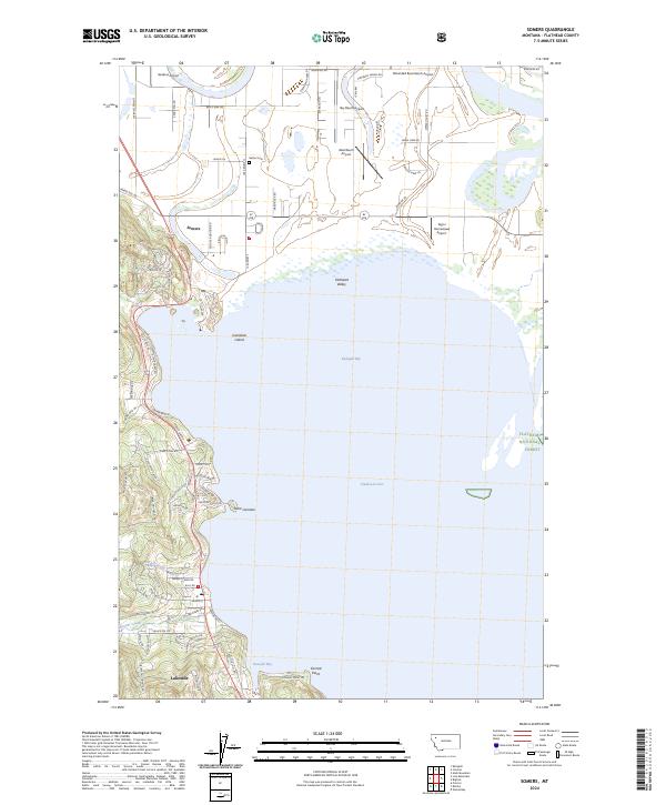
2024 Map of Somers
USGS Topo · Published 2024About this map
Somers and Lakeside anchor the northwestern shores of Flathead Lake, a landscape defined by significant conservation and aviation infrastructure. This modern survey illustrates the extensive Flathead County Waterfowl Production Area, which spans much of the Flathead Valley wetlands and the eastern shoreline of Kalispell Bay. The area's agricultural and rural character is evidenced by a unique density of private landing strips, including Sanders Airport, Sky Ranch Airport, and Wounded Buck Ranch Airport.
Find a feature on this map
73 named features on this map. Tap any name to fly to it.
Don’t see what you’re looking for? This feature index may not catch every label — zoom into the map to look around manually.
Map Details
Editions of this 2024 Somers Map
This is the sole edition of this map. No revisions or reprints were ever made.
Other maps of this area

1920 · Flathead Lake
USGS Topo · 1:125,000

1943 · Kalispell
USGS Topo · 1:125,000

1956 · Wallace
USGS Topo · 1:250,000

1957 · Kalispell
USGS Topo · 1:250,000

1960 · Kalispell
USGS Topo · 1:250,000

1960 · Wallace
USGS Topo · 1:250,000

1961 · Kalispell
USGS Topo · 1:250,000

1962 · Lion Mountain
USGS Topo · 1:24,000

1962 · Somers
USGS Topo · 1:24,000

1962 · Creston
USGS Topo · 1:24,000