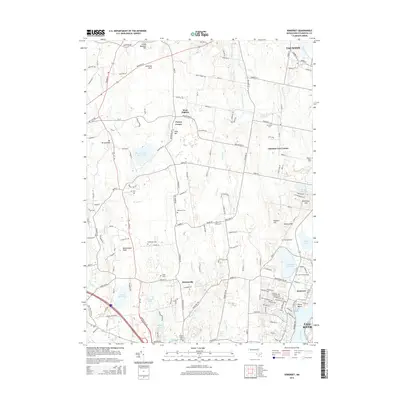
2015 Map of Somerset
USGS Topo · Published 2015About this map
The Taunton River defines the southeastern boundary of this Bristol County region, marking the transition from the industrial edge of Fall River to the residential and wooded landscape of Somerset. This 2015 update documents a coastal environment where salt marshes and tidal inlets like Broad Cove and Labor in Vain Cr meet inland water management systems, including the Somerset Reservoir and Warren Reservoir. The map captures several distinct historical hamlets, from Hortonville and West Dighton to the smaller crossroads of Perrys Corner and Chestnut Tree Corner.
Find a feature on this map
163 named features on this map. Tap any name to fly to it.
Don’t see what you’re looking for? This feature index may not catch every label — zoom into the map to look around manually.
Map Details
Editions of this 2015 Somerset Map
This is the sole edition of this map. No revisions or reprints were ever made.
Other maps of this area

1885 · Taunton
USGS Topo · 1:62,500

1887 · Providence
USGS Topo · 1:62,500

1888 · Fall River
USGS Topo · 1:62,500

1888 · Taunton
USGS Topo · 1:62,500

1889 · Providence
USGS Topo · 1:62,500

1890 · Narragansett Bay
USGS Topo · 1:62,500

1892 · Narragansett Bay
USGS Topo · 1:62,500

1893 · Taunton
USGS Topo · 1:62,500

1893 · Fall River
USGS Topo · 1:62,500

1894 · Providence
USGS Topo · 1:62,500